Ministry of Agriculture and Environment Clarifies Legal Status of Land Reserved for Infrastructure and Corridors Under Vietnam Land Law 2024

In the intricate framework of Vietnam’
s real estate and property governance, citizens frequently encounter everyday terminology that lacks explicit codification within official legislative texts. A prominent example of this linguistic phenomenon is the colloquial phrase "dat luu khong"—loosely translated as "reserved land" or "buffer land." Recently, this term became the focal point of public inquiry directed at the Ministry of Agriculture and Environment, prompting a comprehensive official clarification regarding its true definition, its operational boundaries under the newly enacted Land Law 2024, and its implications for millions of property owners nationwide.
The query, raised by a concerned citizen navigating the complexities of land management, sought to establish a definitive legal understanding of "reserved land." In its official response, the Ministry of Agriculture and Environment confirmed that while "dat luu khong" is widely recognized and utilized in daily conversation among local communities, real estate brokers, and regional administrators, it does not officially exist as a formal legal term defined within the text of the Land Law 2024. This regulatory gap often leads to administrative confusion, uncertainty in land valuation, and anxiety among property owners whose land parcels intersect with designated public utility corridors.
Understanding the Concept of Reserved Land in Vietnamese Practice
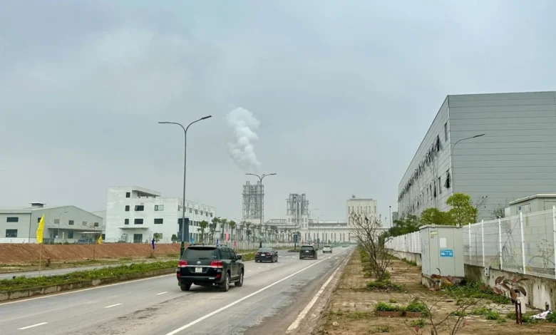
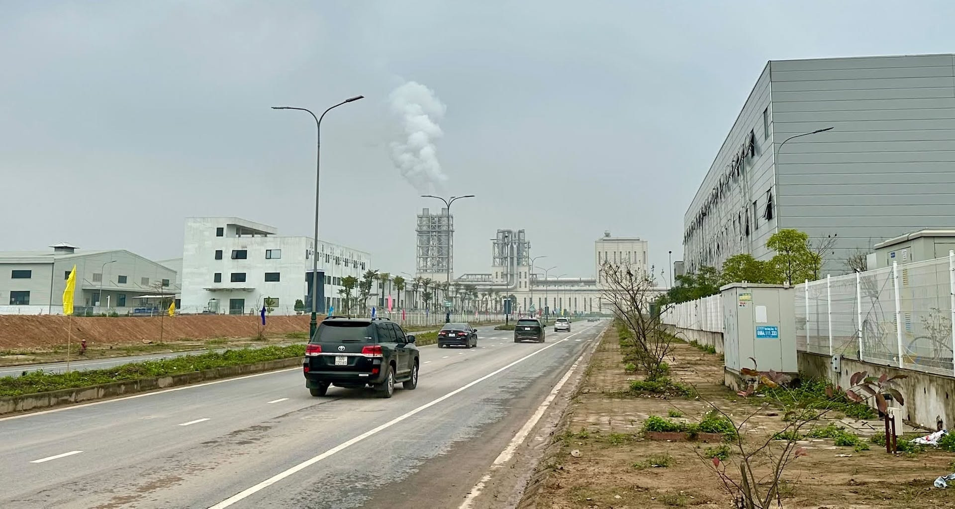
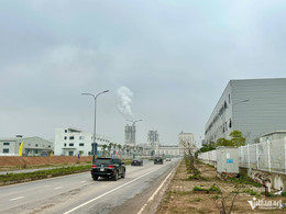
Despite its absence from the statutory definitions of the Land Law 2024, the Ministry emphasized that the term is far from meaningless in practical land administration. Colloquially, "dat luu khong" is broadly understood to encompass several distinct categories of real estate. Primarily, it refers to land portions situated within the safety corridors of public infrastructure, transportation networks, or land specifically earmarked and reserved through urban and regional planning for the future construction of public works and municipal infrastructure systems.
These infrastructure systems typically include national highways, provincial roads, urban transit networks, maritime and waterway navigable channels, electrical transmission lines, telecommunication networks, clean water supply pipelines, wastewater drainage systems, solid waste treatment facilities, and major petroleum or gas supply pipelines.
"These are land areas that have been officially designated and planned for the development of public works, transportation networks, electricity grids, and other utility corridors, but which the State has not yet fully utilized or put into active operation," the Ministry of Agriculture and Environment stressed in its explanatory statement.
This distinction is crucial. It separates land that is currently occupied by active public facilities from land that has been placed under legal reservation to accommodate future expansions or public safety requirements. Because the State holds these master-planning reservations for future public needs, the land use rights of individuals residing within or adjacent to these zones are frequently subject to specific restrictions, creating a unique set of challenges for property owners seeking to transfer, renovate, or formally title their holdings.
The Legislative Landscape: Land Law 2024 and Terminology Realities
The enactment of the Land Law 2024 marked a monumental milestone in Vietnam’s legal reform, designed to streamline land administration, enhance transparency, and protect the legitimate rights of land users. However, because land use practices across the country have evolved organically over decades through local customs, informal transactions, and regional vernacular, statutory law cannot always capture every colloquialism used by the populace.
Legal experts note that terms like "dat luu khong" often overlap with legally defined concepts such as "safety protection corridors of public works" ( hành lang an toàn công trình) or "reserved land for public planning" (đất quy hoạch công trình công cộng). When citizens refer to "reserved land," they are frequently pointing to the restricted zone flanking a road, canal, or high-voltage power line where permanent construction is either strictly prohibited or heavily regulated.
The Ministry’s clarification serves to bridge the gap between popular speech and legal reality, reminding citizens that administrative rights and obligations are determined by the specific land use purpose recorded in official cadastral records, land use rights certificates (commonly known as "red books"), and approved local zoning maps, rather than by informal nomenclature.
Broader Context: Land Management Challenges and Public Concerns
The inquiry regarding reserved land is emblematic of a broader spectrum of land-related anxieties currently facing property owners across Vietnam. As local authorities accelerate updates to cadastral maps, zoning plans, and land-use inventories under the framework of the Land Law 2024, numerous long-standing property issues are coming to light.
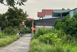
In recent months, the Ministry of Agriculture and Environment has been inundated with complex inquiries from citizens navigating historical land anomalies. These include questions regarding residential parcels established as early as 1974 that were subsequently divided through inheritance or private transactions, leaving current occupants uncertain about their exact residential land quotas. Other prevalent issues involve adjacent land plots that overlap on updated cadastral maps due to modern, highly accurate surveying technologies contrasting with older, manual mapping methods, as well as vast agricultural landholdings transferred via handwritten agreements dating back over a decade.
Within this dense web of administrative hurdles, the status of land adjacent to infrastructure corridors—the colloquial "reserved land"—stands out because it directly impacts the daily lives, safety, and investment security of residents living near major transport and utility arteries. Property owners situated near these buffer zones frequently find themselves in a regulatory limbo: they may have occupied the land for decades, yet their ability to expand structures, obtain construction permits, or secure full recognition of their land use rights is constrained by the looming prospect of future state acquisition for public infrastructure development.
Implications for Property Owners and Regional Authorities
The Ministry’s clarification carries significant implications for both individual property owners and local land management agencies. For citizens, understanding that "dat luu khong" is a descriptive rather than a legislative term underscores the necessity of verifying official land-use planning information before engaging in real estate transactions or investing in structural renovations. Property buyers and owners are advised to consult local People’s Committees and natural resources offices to verify whether a specific land parcel falls within a planned infrastructure corridor or safety buffer.
For local authorities, the Ministry’s stance highlights the ongoing need for transparent communication and timely implementation of urban and infrastructure planning. When land is designated as a safety corridor or reserved for future public utilities, local governments bear the responsibility of clearly marking these boundaries and ensuring that affected residents are fully informed of their rights and restrictions. Furthermore, where master plans remain unimplemented for extended periods, authorities are increasingly pressured to balance public infrastructure goals with the legitimate socioeconomic needs of local residents, ensuring that individuals living near buffer zones are not subjected to indefinite administrative hardship without clear timelines for project execution.

Conclusion
As Vietnam continues to refine its legal and administrative infrastructure under the Land Law 2024, the dialogue between citizens and regulatory bodies remains essential for resolving ambiguities. While "dat luu khong" will likely remain a fixture of everyday real estate vernacular, the Ministry of Agriculture and Environment’s official guidance provides a vital framework for interpreting these spaces through the lens of public safety, infrastructure planning, and statutory land classification. By clarifying that these areas represent state-reserved zones for future public utility and safety corridors, the Ministry has provided much-needed clarity, empowering property owners to make informed decisions and fostering a more transparent, predictable land market across the country.