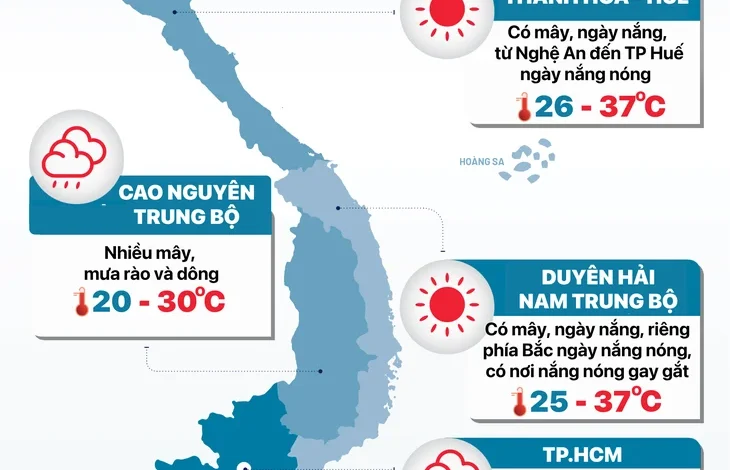
HANOI, VIETNAM – As July 18th dawns, the northern and central regions of Vietnam are bracing for continued heavy rainfall and significant thunderstorms, according to the National Center for Hydro-Meteorological Forecasting. The weather system, which has been impacting the country, is expected to persist throughout the day and into tomorrow, July 19th, bringing localized downpours with the potential for severe weather conditions.
The mountainous and midland areas of the North are forecast to experience moderate to heavy rain, with accumulations ranging from 60 to 120 millimeters. Some areas could even see exceptionally heavy rainfall exceeding 250 millimeters. These intense downpours are likely to be accompanied by thunder, lightning, and strong gusts of wind, posing a considerable risk to public safety and infrastructure.
Analysis of the Weather Pattern
This persistent weather pattern is characteristic of the summer monsoon season in Vietnam, often exacerbated by tropical depressions or low-pressure systems forming in the East Sea. While monsoon rains are crucial for agriculture and water resources, their intensity and localized nature can lead to significant challenges. The presence of thunder and lightning, in particular, highlights the volatile nature of the current atmospheric conditions.
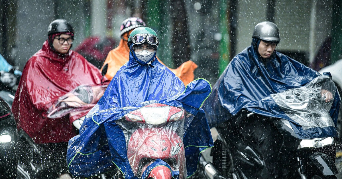
The National Center for Hydro-Meteorological Forecasting has issued warnings regarding the potential impacts of this heavy rainfall. These include the likelihood of flash floods in low-lying areas, urban centers, industrial zones, and along mountainous slopes. Landslides are also a significant concern in hilly and mountainous regions, particularly in areas with unstable soil conditions. Furthermore, the increased runoff from heavy rain can lead to elevated water levels in rivers and streams, potentially causing riverbank erosion and posing a threat to communities living in close proximity to these waterways.
Regional Weather Breakdown for July 18th
Hanoi and Surrounding Areas:
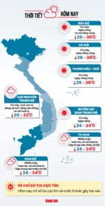
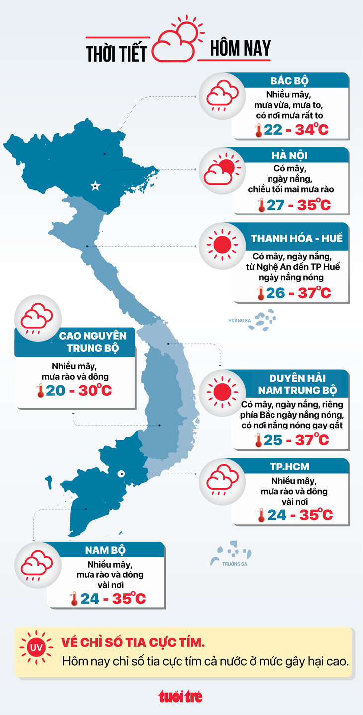
The capital city of Hanoi is expected to experience cloudy skies with intermittent rain, particularly in the afternoon and evening. Temperatures will remain moderate, with lows ranging from 27-29 degrees Celsius and highs reaching 33-35 degrees Celsius. While the rain is anticipated to be scattered, residents should remain vigilant for localized heavy downpours.
Northern Midlands and Mountains:
The northern mountainous and midland provinces are in for a continuation of the challenging weather. Expect widespread clouds with moderate to heavy rain, including isolated instances of very heavy downpours. Temperatures will be cooler, ranging from 22-26 degrees Celsius for lows and 31-34 degrees Celsius for highs. The risk of flash floods and landslides is particularly high in these regions.
Coastal Provinces and Central Regions:
Moving south, the coastal provinces and parts of the central region will also see considerable cloud cover and scattered showers. The northern parts of the Central region, including provinces like Thanh Hoa and Nghe An, are forecast to receive moderate to heavy rainfall, with some areas potentially experiencing intense, localized downpours. Temperatures in these areas will be higher, with lows between 26-29 degrees Celsius and highs reaching 34-37 degrees Celsius. The high humidity and heat combined with heavy rain create conditions conducive to thunderstorms.
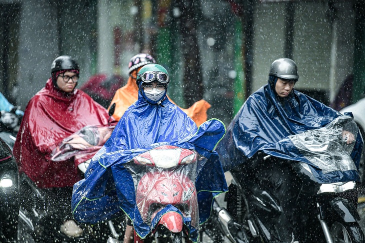
Southern Central Coast and Central Highlands:
The southern Central Coast and the Central Highlands will experience more cloudiness with scattered rain. The southern part of the Central region is particularly vulnerable to intense, localized rainfall. Temperatures here will range from 25-28 degrees Celsius for lows and 32-37 degrees Celsius for highs. The elevated temperatures in the Central Highlands, reaching up to 37 degrees Celsius in some areas, coupled with the monsoon influence, contribute to the risk of severe thunderstorms.
Southern Vietnam:
Southern Vietnam, including Ho Chi Minh City, will generally see more cloudy conditions with scattered showers, potentially accompanied by lightning. While the rainfall intensity is expected to be less severe than in the north, the urban environment of Ho Chi Minh City means that even moderate rainfall can lead to localized flooding due to drainage limitations. Temperatures in the south will range from 24-27 degrees Celsius for lows and 32-35 degrees Celsius for highs.
Long-Term Outlook and Implications
The current weather pattern is projected to continue for several more days, with the heatwave in the central and southern regions potentially lingering until around July 23rd. The prolonged period of heavy rainfall in the north raises concerns about agricultural output, particularly for rice crops nearing harvest. Farmers are being advised to take necessary precautions to protect their crops from waterlogging and potential damage.
Furthermore, the increased risk of flash floods and landslides necessitates heightened preparedness from local authorities and residents in vulnerable areas. Emergency services are on alert, and public awareness campaigns are being conducted to ensure that communities are informed about the potential dangers and necessary safety measures.
Historical Context of Monsoon Impacts
Vietnam’s geographical location makes it susceptible to various weather phenomena, including typhoons, tropical depressions, and prolonged monsoon periods. The 2023 monsoon season, like many before it, presents a dual-edged sword: vital for replenishing reservoirs and supporting agriculture, but also a source of natural disasters. In past years, heavy monsoon rains have led to significant flooding, causing loss of life, widespread damage to property and infrastructure, and disruption to economic activities. For instance, the 2022 monsoon season saw devastating floods in several central provinces, resulting in considerable economic losses and displacement of thousands of people. The current forecast suggests a similar pattern for the northern regions this year.
Official Guidance and Preparedness Measures
The National Center for Hydro-Meteorological Forecasting, in coordination with relevant government agencies, is actively monitoring the evolving weather situation. The public is strongly advised to stay updated with the latest weather bulletins and follow the guidance issued by local authorities. Key recommendations include:
- For residents in mountainous areas: Be aware of the increased risk of landslides and flash floods. Avoid traveling through or near unstable slopes and flood-prone areas.
- For residents in urban and low-lying areas: Prepare for potential street flooding. Ensure drainage systems are clear of debris. Secure outdoor belongings that could be dislodged by strong winds.
- For boat owners and fishermen: Exercise extreme caution when operating in coastal waters and rivers due to potential strong winds and rough seas. Adhere to maritime safety regulations and heed warnings from coastal authorities.
- For all citizens: Stay informed about weather updates through official channels and follow safety advice from local emergency services.
The meteorological agency’s detailed forecasts for specific regions aim to provide timely and actionable information to mitigate the impact of these adverse weather conditions. The ongoing efforts underscore the importance of preparedness in a country that frequently experiences the challenges posed by its tropical climate. As the day progresses, further updates will be provided to reflect any changes in the weather pattern and associated risks.