The persistent and complex erosion along the banks of the Tien River in Tan Long Commune, Dong Thap Province, has reached a critical stage, threatening the safety, property, and livelihoods of hundreds of households. Despite ongoing mitigation efforts, the geological instability in the region remains a source of constant anxiety for local residents, many of whom have seen their homes swallowed by the river or have been forced to relocate multiple times in recent years.
A Landscape in Constant Flux
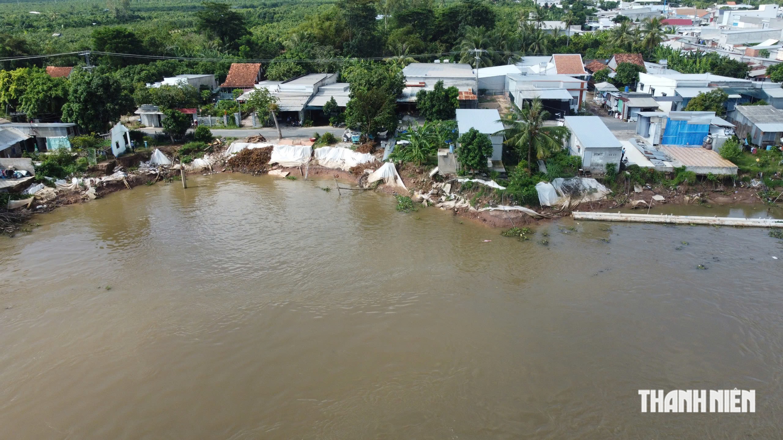
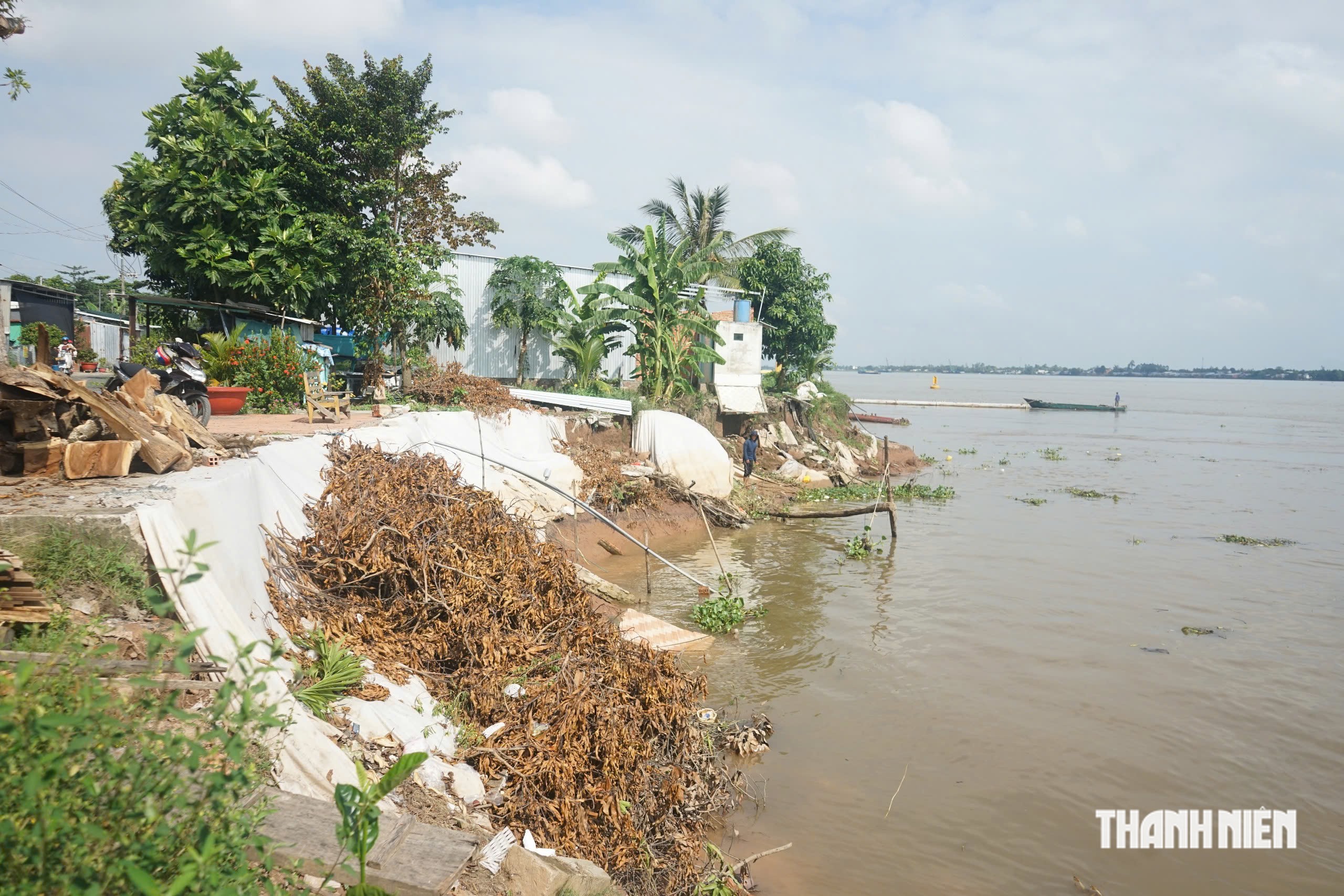
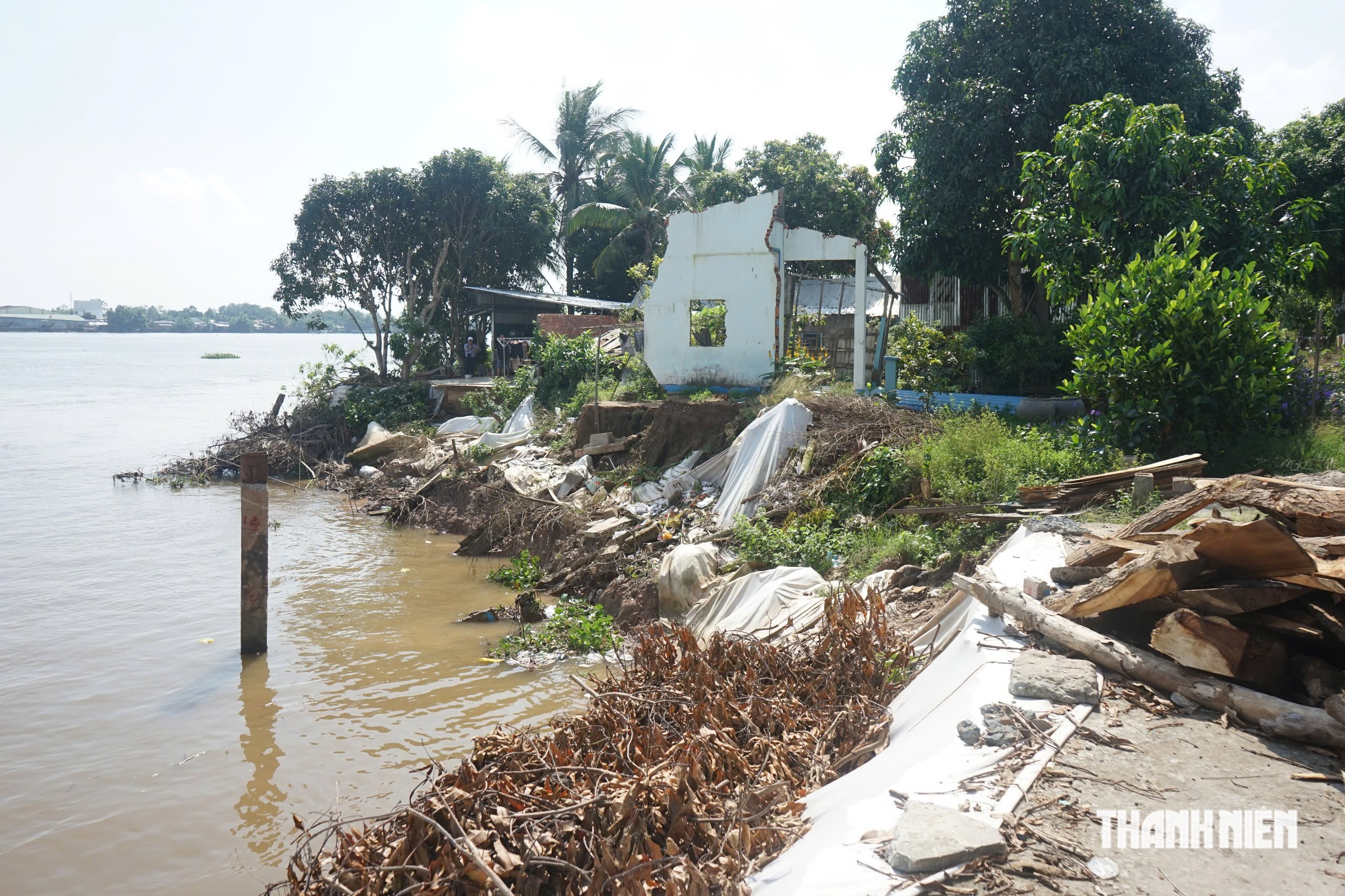
The geographical characteristics of Tan Long Commune, located within the heart of the Mekong Delta, have made it particularly susceptible to the ravages of climate change and riverbank erosion. Observations conducted on November 9, 2026, reveal a harrowing scene near the An Long – Tan Quoi ferry landing. In this area, severe erosion has caused residential structures to collapse almost entirely into the river, leaving families to salvage what remains of their possessions from the mud.
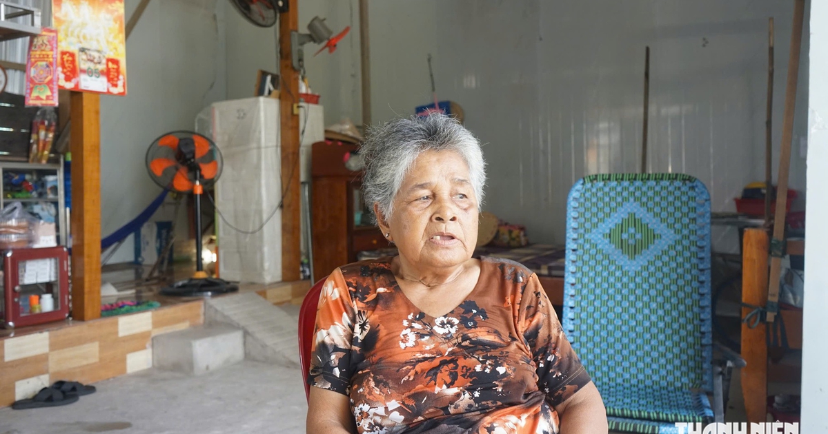
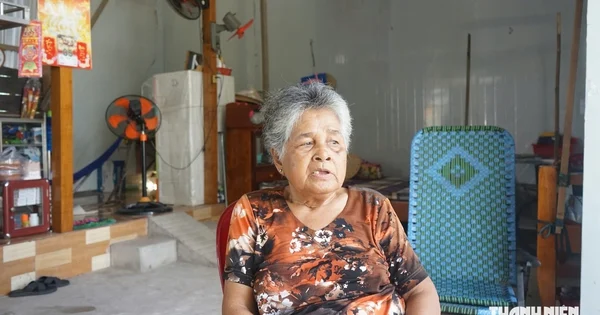
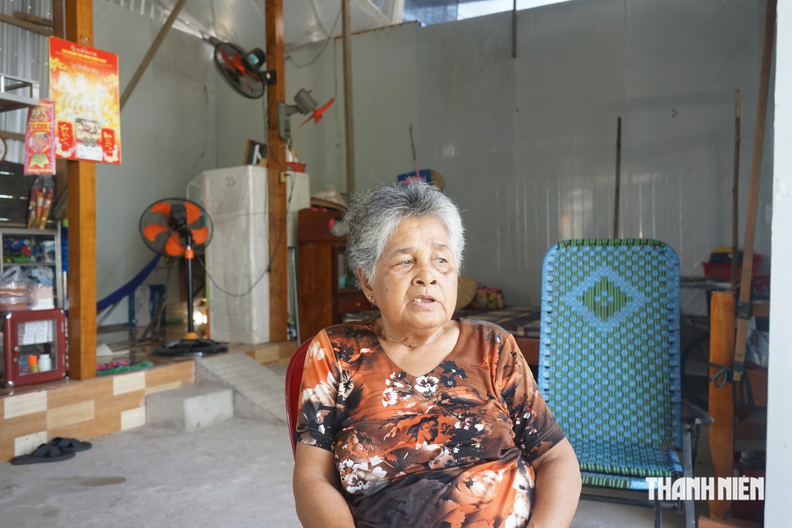
For many, the tragedy is a slow-motion disaster. Take, for instance, the case of 70-year-old Tran Thi Pha, a long-time resident of Tan Long. She recalls a time, just a few years ago, when her house stood a comfortable fifteen meters from the riverbank. Today, the relentless encroachment of the water has forced her family to move their home toward the road multiple times. Currently, her dwelling is precariously perched near the edge of a public thoroughfare, serving as a stark reminder of the encroaching river.
Chronology of a Crisis
The instability of the soil in Tan Long is not a recent phenomenon, but the frequency and intensity of the erosion events have spiked significantly since 2025. Local government data indicates that since the beginning of 2025, the commune has experienced eight major erosion incidents. These events have totaled over 200 meters of shoreline loss, with the river eating inland between 3 to 30 meters at various points.
A significant event occurred on October 19, 2026, in the Tan Quoi Hamlet, roughly 385 meters upstream from the An Long – Tan Quoi ferry. A 20-meter stretch of the bank collapsed, extending 10 meters into the land. This single incident directly impacted six households, two of which were completely destroyed. Preliminary assessments placed the financial damage at approximately 140 million VND.
Local officials, such as Nguyen Minh Hieu, head of the Fatherland Front working committee in Tan Quoi Hamlet, noted that the erosion cycle is now predictable but impossible to halt without major infrastructure. The events predominantly occur after heavy rain cycles, when soil saturation levels peak and the Tien River’s water levels fluctuate, creating high-pressure conditions that undermine the sandy, unstable riverbanks.
The Underlying Geological and Hydrodynamic Causes
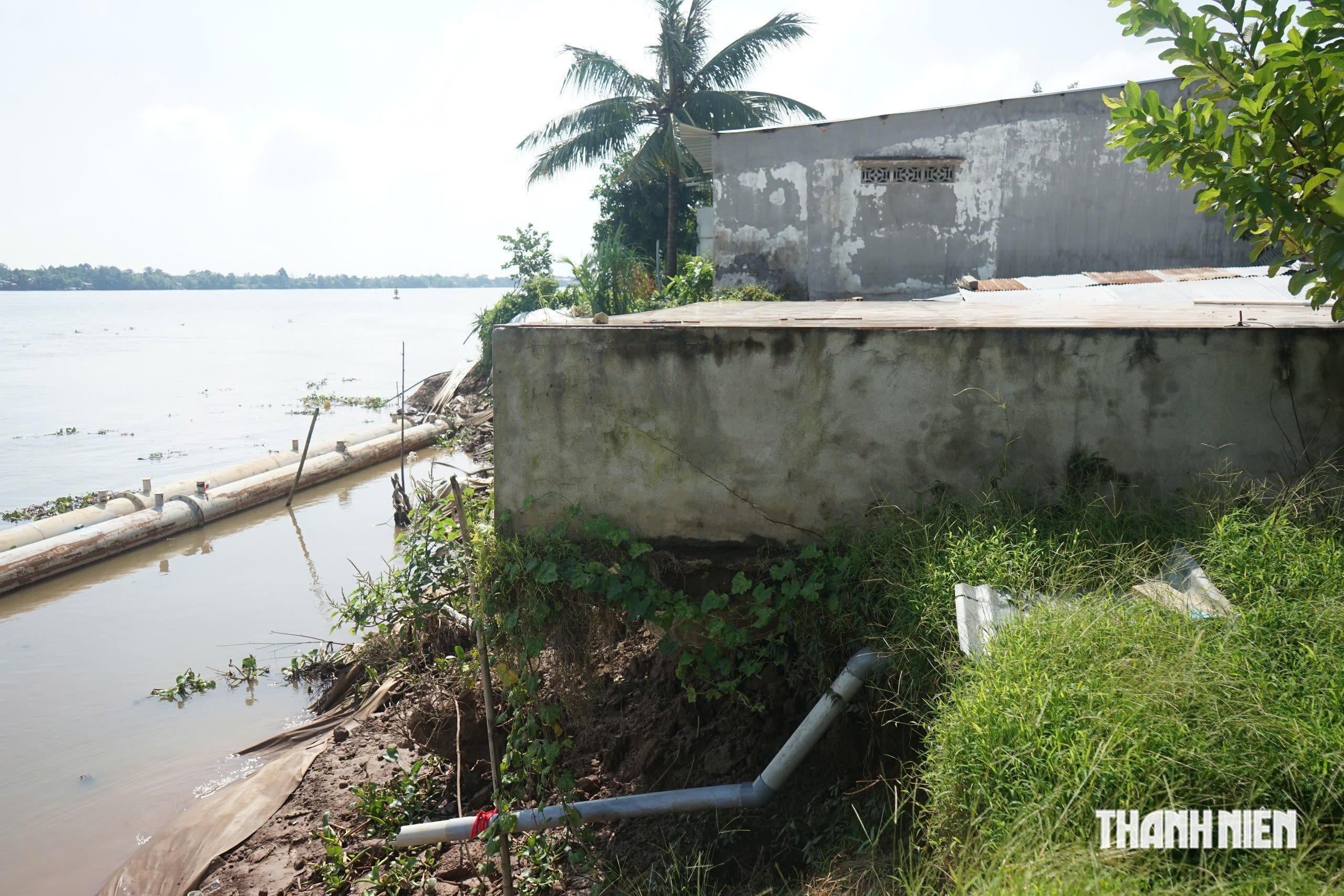
Technical assessments of the site describe a "bottleneck" geography where the river’s flow is constricted, increasing the velocity and erosive power of the water against the banks. The geological profile of the area is primarily sandy loam—a soil type that lacks the cohesion required to withstand the high-velocity currents experienced during flood seasons.
As the river flow is forced through these narrower sections, it creates powerful underwater vortices that scour the riverbed and undercut the base of the embankments. This phenomenon leads to sudden, mass-wasting events where entire sections of the bank, including trees and homes, slide into the riverbed.
Human and Economic Impact
The scale of the threat is significant. According to the Tan Long Commune People’s Committee, two major zones are currently identified as high-risk, specifically in Tan Quoi and Thuong Hamlets. Spanning an area of approximately 1,500 meters, these zones impact 351 households. While proactive relocation efforts have been ongoing, 230 households remain in the "danger zone," residing anywhere from zero to 60 meters from the river’s edge.
The economic toll is compounded by the fact that many of these residents rely on small-scale agriculture or seasonal labor. Many of the families occupying the high-risk land lack formal land-use certificates, complicating compensation and resettlement efforts. This lack of legal documentation often prevents them from accessing state support for building new, permanent homes elsewhere, trapping them in a cycle of poverty and environmental instability.
Government Response and Infrastructure Projects
Recognizing the urgency, the Dong Thap Provincial People’s Committee officially declared a state of emergency for the Tan Quoi Hamlet area in late 2025. This declaration authorized the mobilization of emergency funds and the initiation of an anti-erosion project managed by the Project Management Board for Construction Investment 1.
The project, which broke ground in early 2026 with a total investment of over 72 billion VND, is designed to stabilize the banks and prevent the spread of the erosion. However, progress has been slower than anticipated, with only 26% of the work completed by November 2026.
According to Dang Quoc Phuong, Deputy Director of the Hanoi Traffic Infrastructure Construction Joint Stock Company—the primary contractor for the site—the team is currently working under strenuous conditions. "We are currently installing vortex-prevention structures on the riverbed," Phuong stated. "In the coming weeks, we plan to accelerate the driving of concrete piles and proceed with the subsequent phases of the embankment construction."
Nguyen Tran Bao Trung, Deputy Head of the Technical Team for the project, confirmed that construction and technical documentation are being executed in parallel to ensure the project is finished before the flood season of 2027. Additionally, the province is investing in a residential resettlement zone with a capacity of 191 plots to provide a permanent, safe alternative for those currently living on the front lines of the erosion. As of November, this site is 39% complete.
Broader Implications and Future Recommendations
While the ongoing construction is a vital step, local authorities argue it is insufficient given the scale of the erosion. The Tan Long Commune People’s Committee has formally petitioned the provincial government to extend the scope of the project. They are requesting funding for an additional 4,500 meters of concrete embankments to connect the current work with the An Long – Tan Quoi ferry and extend further upstream toward Phu Trung Hamlet.
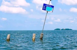
In the interim, the local government has implemented strict safety measures. Warning signs and boundary markers have been placed in all high-risk zones. A 24/7 disaster response team has been maintained to monitor water levels and assist residents in the event of an immediate collapse.
The situation in Tan Long is a microcosm of the wider challenges faced by the Mekong Delta. As climate change continues to alter river morphology and increase the frequency of extreme weather, the reliance on traditional embankments is being questioned by experts. Sustainable, long-term solutions—which may include more flexible land-use policies, sustainable sediment management, and comprehensive relocation strategies—will be required to ensure the survival of communities along the Tien River.
For the residents of Tan Long, the promise of a finished embankment is their only hope for stability. As the 2027 flood season looms, the race against the river continues, with the lives and livelihoods of hundreds of families hanging in the balance. Until these protections are fully realized, the people of Tan Long remain in a state of perpetual vigilance, waiting for the day they can stop moving their homes and start building a future.