TP.HCM và Nam bộ đối mặt triều cường vượt báo động 3 kết hợp mưa lớn gây ngập sâu diện rộng

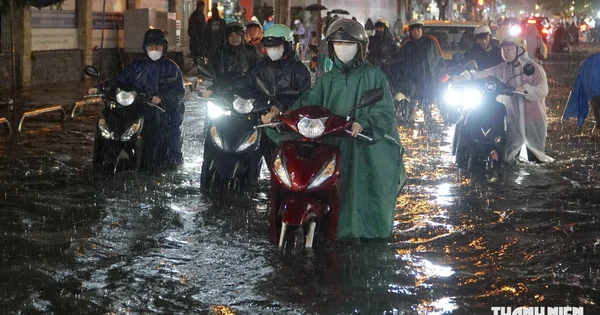
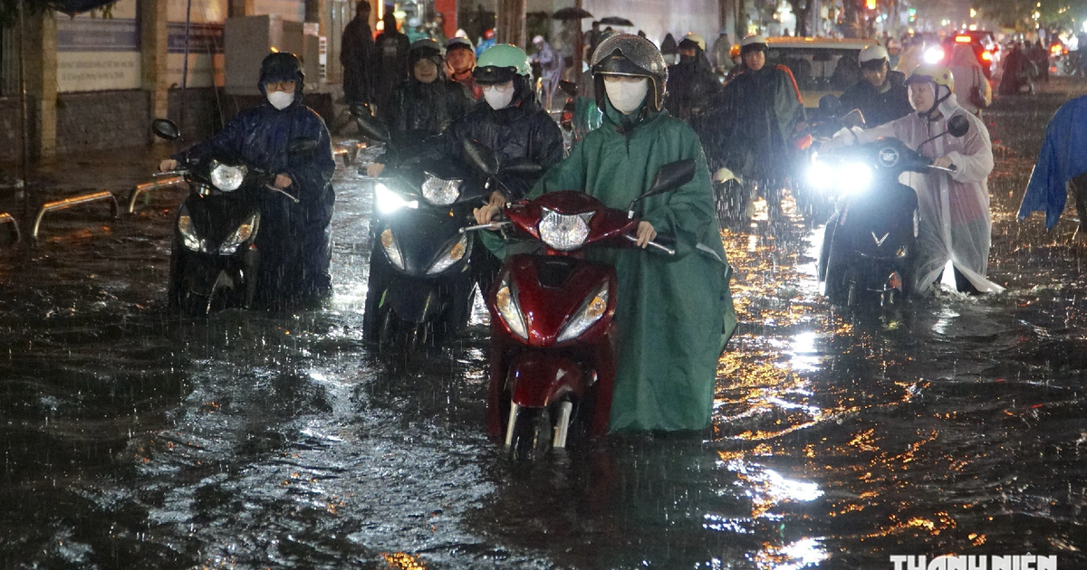
Southern Vietnam and Ho Chi Minh City are currently grappling with severe tidal flooding as water levels on major river systems surge past the Alarm Level 3 threshold. The situation has been significantly exacerbated by persistent heavy downpours, coinciding with the peak of the early eighth lunar month astronomical tide. Municipal authorities, disaster management agencies, and local residents across the region are on high alert as urban centers, agricultural lowlands, and riverside communities face extensive inundation, disrupting daily life, traffic flow, and socio-economic activities.
Rising Tides and Heavy Rains Converge on the Saigon River Basin
The hydrological dynamics in the Lower Mekong and Saigon River basins have reached critical parameters over the past 48 hours. According to the Southern Regional Hydrometeorological Station, water levels across monitoring stations along the Saigon River have risen rapidly, maintaining sustained highs.
Early morning measurements recorded on September 13 highlighted the severity of the tidal surge. At the Phu An station on the Saigon River, water levels reached 1.51 meters—exceeding the Alarm Level 3 benchmark by 0.03 meters. Meanwhile, the Thu Dau Mot station logged an even higher reading of 1.65 meters, surpassing Alarm Level 3 by 0.14 meters. These figures reflect a dangerous trend wherein high tides arrive concurrently with heavy afternoon and evening convective rainfall, trapping runoff and preventing natural drainage into the river systems.
Meteorologists warn that the peak of the astronomical tide will continue to assert pressure through the weekend. Forecast models indicate that water levels at the Phu An station could touch 1.61 meters, while the Nha Be station along the Dong Dien canal is expected to peak at 1.60 meters. Further upstream, the Thu Dau Mot station is projected to reach 1.72 meters. Consequently, the disaster risk level for the lower Saigon River basin has been officially raised to Level 2, signaling a high probability of structural stress on flood defenses and widespread urban disruptions.
Chronology of the Tidal Surge and Inundation Timeline
The progression of the current high tide cycle has followed a predictable yet intensely destructive path, moving from initial coastal and estuarine intrusion to inland urban flooding.
- September 11–12: Astronomical forecasts signal the onset of the early eighth lunar month high tide. Upper Mekong water levels begin to fluctuate upward, creating cumulative pressure as flows move downstream toward the delta provinces.
- September 13 (Early Morning): Water levels surge rapidly past safety thresholds. By 7:00 AM, key stations at Phu An and Thu Dau Mot officially breach Alarm Level 3.
- September 13 (Afternoon and Evening): High tide peaks coincide directly with intense afternoon thunderstorms. The combination of pluvial flooding (surface water from heavy rain) and fluvial flooding (overflowing rivers) inundates low-lying neighborhoods across Ho Chi Minh City, Can Tho, Vinh Long, and Dong Thap. Localized incidents, such as overnight flooding affecting dozens of households in municipal sub-districts, prompt emergency local responses.
- September 14–16 (Outlook): Water levels at most Saigon River stations are expected to undergo gradual diurnal shifts, maintaining heights between Alarm Level 1 and Alarm Level 2. This elevated plateau is forecasted to persist through September 16, requiring continuous vigilance from local authorities and residents.
Mekong Delta and Upstream Impacts
While Ho Chi Minh City deals with severe urban backflow, the provinces of the Mekong Delta are facing a dual threat from upstream Mekong River flows and local tidal action. The National Center for Hydro-Meteorological Forecasting (NCHMF) reports that upstream water levels are fluctuating at elevated tiers, combining with coastal tides to push water tables higher across the Cuu Long (Mekong) riverine network.
On September 12, peak water levels on the Tien River at the Tan Chau station reached 3.51 meters (hovering at Alarm Level 1), while the Hau River at Chau Doc recorded 3.12 meters, exceeding Alarm Level 1 by 0.12 meters. Over the next 48 hours, upper Mekong levels are expected to sustain these ranges.
More critically, downstream stations in the Mekong Delta are experiencing high tides fluctuating between Alarm Level 2 and Alarm Level 3, with certain areas surpassing the highest warning tier. Major vulnerabilities have been identified in low-lying and riverside regions of An Giang province—particularly areas outside primary dyke rings—as well as vulnerable communities in Dong Thap, Vinh Long, and Can Tho City. Hydraulic engineers have emphasized the immediate need to inspect and reinforce rural dykes and agricultural bunds to prevent breaches that could inundate ripening orchards and residential plots.
Socio-Economic Implications and Urban Infrastructure Challenges
The compounding effect of heavy rainfall and record-breaking tides poses profound challenges to the infrastructure and economy of southern Vietnam. In Ho Chi Minh City, major thoroughfares, commercial districts, and residential alleyways situated in low-lying topography—such as parts of District 7, Binh Thanh, Go Vap, and Thu Duc City—are regularly submerged under 20 to 50 centimeters of brackish water.
These recurrent inund events inflict significant economic tolls:
- Traffic Disruption and Vehicle Damage: Submerged roads cause massive traffic congestion during peak commuting hours, stalling vehicles, short-circuiting motorcycles, and straining municipal transport networks.
- Public Health and Sanitation Risks: Floodwaters mixing with canal runoff and drainage systems elevate public health concerns, bringing pollutants, debris, and waterborne pathogens into residential zones.
- Commercial and Industrial Friction: Small businesses, retail shops, and logistics operations face temporary closures or restricted access, reducing daily revenue and increasing operational overheads for flood mitigation.
- Agricultural Pressures in the Delta: In the western provinces, unexpected surges threaten unharvested seasonal crops and aquaculture facilities, requiring farmers to deploy emergency pumps and shore up protective earthen walls.
Official Responses and Mitigation Strategies
In response to the escalating crisis, local governments and disaster response committees across Ho Chi Minh City and the Mekong Delta have activated emergency protocols. Municipal public works departments have deployed mobile pumping units, cleared drainage grates blocked by debris, and mobilized sanitation crews to manage traffic around critical bottleneck zones.
Furthermore, urban planners and local authorities are reiterating long-term warnings regarding climate adaptation. The increasing frequency of tides exceeding historical baselines—driven by a combination of sea-level rise, land subsidence, and regional meteorological shifts—underscores the necessity for accelerated infrastructure investment. Projects involving tidal sluice gates, expanded drainage collector networks, upgraded pumping stations, and stricter zoning regulations for construction in flood-prone retention areas remain central to the region’s long-term resilience strategy.
As the region navigates the peak of the current tidal cycle through mid-September, disaster management agencies continue to issue real-time hydrological bulletins, urging citizens to monitor weather updates closely, elevate valuable household goods, and exercise caution when navigating flooded transit corridors.