Handling Discrepancies in Land Use Rights Certificates: Official Guidelines and Procedures Under the 2024 Land Law

Property ownership and land administration represent some of the most critical legal frameworks governing civil society and economic stability. In recent years, as Vietnam accelerates the modernization and digitization of its national land database, systemic reviews of land records have increasingly brought long-standing administrative errors to light. Among these issues, discrepancies involving cross-matched parcel numbers and conflicting land area measurements between adjacent properties have become a frequent source of anxiety for landowners.
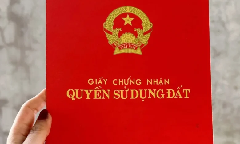
When citizens discover that their Land Use Rights Certificates—commonly known as "red books" or "pink books"—contain errors regarding parcel indexing or boundary sizing, understanding the correct legal remedy is paramount. Official guidelines provided by regulatory bodies clarify how local organizations, registration offices, and administrative authorities must navigate these discrepancies to protect property rights while maintaining the integrity of the national land registry.

Nature of Land Discrepancies and the Role of Local Teams
Land administration is a multi-tiered process involving national oversight, provincial execution, and grassroots-level data collection. During the ongoing nationwide effort to build, clean, and finalize the national land database, local data collection teams play a frontline role. These teams are tasked with interacting directly with property owners, conducting preliminary field assessments, and reconciling physical land use realities with historical records.
However, historical records are frequently marred by inconsistencies dating back decades. A typical scenario involves neighboring landowners discovering that their parcel numbers have been inverted, or that the recorded acreage of their properties deviates significantly from physical boundaries due to historical surveying limitations, manual data entry errors, or changes over time. When such discrepancies are identified—either by the citizen or during active data collection campaigns—local teams are mandated to record the findings, compile relevant documentation, and formally report the matter to competent state agencies.
The Ministry of Agriculture and Environment has emphasized that while initial citizen inquiries regarding general discrepancies are vital, resolving individual cases requires a thorough examination of physical records, historical registration files, and the specific causal factors behind the error. General inquiries submitted without specific supporting documents or case files cannot be resolved immediately on a theoretical basis; rather, each case must follow strict administrative protocols.

Legal Framework Governing the Correction of Land Certificates
To address errors found in previously issued certificates, Vietnamese law provides clear statutory mechanisms. According to Point b, Clause 1, Article 152 of the 2024 Land Law, if information regarding a parcel of land, assets attached to land, or the land user on a issued certificate contains errors compared to the initial land registration declaration documents—and those documents have been verified by competent land registration authorities—the certificate must be officially corrected.
This statutory provision ensures that administrative oversights do not permanently prejudice a landowner’s legal standing. The correction process does not invalidate the underlying land right itself; rather, it reconciles the official document with the verified administrative history of the property.
The jurisdictional framework and administrative workflow for these corrections are further detailed in regulatory texts. Specifically, Section XIV, Content C, Part V of Appendix I, issued alongside Government Decree No. 151/2025/ND-CP, outlines the decentralization of authority between local governments at various administrative tiers regarding land management. Furthermore, Clause 1, Article 15 of Decree No. 49/2026/ND-CP governs the specific administrative procedures and operational timelines that provincial People’s Committees must enforce when processing localized land adjustments.

Step-by-Step Procedures for Citizens Facing Land Record Errors
For citizens who discover discrepancies in their land documentation, navigating the administrative landscape requires a structured approach. The process generally involves active collaboration between the property owner, grassroots data collection units, and the local branch of the Land Registration Office.
- Self-Assessment and Documentation Gathering: Landowners should first inspect their own records, including the original land use rights certificate, historical tax receipts, boundary markers, and any initial land declaration forms filed during previous registration cycles. Gathering archival evidence is crucial, as administrative corrections are strictly evidence-based.
- Engagement with Local Data Teams: During municipal or regional land database updates, residents must cooperate proactively with local surveying and data collection teams. Providing accurate information and historical documents helps expedites the verification process.
- Formal Notification and Reporting: If a local data collection team identifies a discrepancy—such as a crossed parcel number or an acreage mismatch with a neighbor—the team is legally responsible for compiling a formal report. This report is submitted upward to the municipal or district-level Division of Natural Resources and Environment.
- Filing an Application for Correction: Property owners can directly submit an application for the correction of a Land Use Rights Certificate to the local Land Registration Office or the designated one-stop administrative service center. The application must include the original certificate and supporting documents proving the existence of the error.
- Verification and Reissuance: The Land Registration Office reviews the dossier against the master cadastral archive. Upon confirming the discrepancy, the authority executes the correction directly on the certificate or reissues a corrected version in accordance with the 2024 Land Law and related decrees.
Broader Implications for the National Land Database
The systematic identification and correction of land certificate errors represent a critical phase in Vietnam’s broader administrative reform agenda. As the country transitions toward a fully digital, unified national land database, rooting out historical discrepancies is essential for preventing future property disputes, streamlining real estate transactions, and bolstering investor confidence.
Unresolved land discrepancies can trigger severe secondary complications. For instance, historical cases involving structures built on agricultural land that later faced certificate revocations, or complex inheritance proceedings where parcel boundaries do not match physical reality, often result in prolonged administrative bottlenecks and civil litigation. By establishing transparent, predictable legal pathways for certificate corrections under the 2024 Land Law and recent implementation decrees, the government aims to provide legal certainty for millions of property owners.

Ultimately, while the process of correcting bureaucratic errors requires time, patience, and strict adherence to administrative procedures, the existing legal framework offers robust mechanisms to safeguard citizens’ property rights. Cooperation between proactive landowners, diligent local data teams, and competent state agencies remains the cornerstone of a transparent and equitable land administration system.