Clarifying Land Parcel Boundaries and Red Book Issuance Procedures in Vietnam: Ministry Guidelines and Legal Frameworks

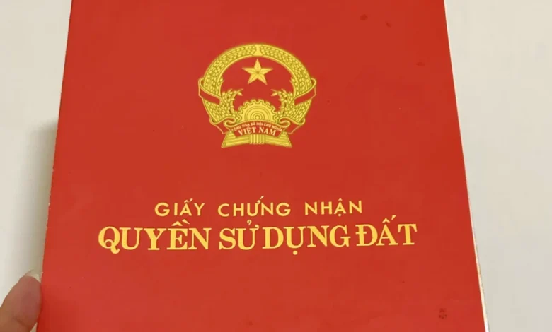
The complexities surrounding land administration in urbanizing areas of Vietnam have long been a source of frustration and anxiety for property owners. A prominent case recently brought forward by a Hanoi resident highlights persistent legal ambiguities regarding how land parcel boundaries are officially determined when a Certificate of Land Use Rights—commonly known as a "Red Book"—includes both officially recognized residential land and adjacent unrecognized portions. This situation touches upon fundamental questions of property rights, administrative procedures, and the decentralized authority of local government bodies in handling land-related grievances.
Background and Context of the Land Dispute
The case originates from a land parcel located in Hanoi, initially issued a Certificate of Land Use Rights by the People’s Committee of the former Tu Liem district back in 2008. According to the citizen’s petition, the boundary documentation and graphical sketches attached to the Red Book at the time of issuance delineated the entire expanse of the land parcel currently under occupation. This delineation encompassed not only the precise surface area explicitly granted full legal recognition for residential use but also supplementary transitional or historically utilized surface areas that remained uncertified or categorized under different land classifications.
For nearly two decades, the household has maintained continuous physical possession and utilization of this exact land parcel without altering its physical boundaries, fences, or spatial layout from the baseline established in 2008. Despite this stability, the family encountered profound legal uncertainty when attempting to understand the legal nature of their boundaries. Specifically, the citizen questioned whether the legal boundary demarcated in the Red Book applied comprehensively to the entire physical footprint—including both certified and uncertified sections—or if it was strictly restricted to the precise square footage officially recognized for land use rights. Furthermore, the property owner sought explicit guidance regarding the precise administrative procedures, required dossiers, and regulatory timelines necessary to regularize the entire parcel under a unified, comprehensive Red Book.
The Regulatory Dilemma and Decentralized Jurisdiction
When formal inquiries regarding these boundary interpretations were elevated to national authorities, the Ministry of Agriculture and Environment addressed the concerns by outlining the jurisdictional limits governing such matters. The Ministry emphasized that individual disputes, localized mapping discrepancies, and specific parcel-level boundary interpretations constitute highly contextual matters falling squarely under the administrative jurisdiction of local authorities.
To determine whether a parcel has been under-allocated or if historical mapping errors occurred, reviewing bodies must cross-reference current physical conditions against the historical archives and local regulatory decrees enacted by provincial and municipal authorities. Because these archives are maintained at the municipal and district levels in accordance with localized enforcement guidelines for the Land Law, the central ministry noted that it lacked the direct administrative baseline required to issue a definitive, case-specific ruling for this particular Hanoi resident.
Nevertheless, the Ministry provided foundational legal principles to help property owners navigate boundary discrepancies. If a citizen has reasonable grounds to believe that a previously issued Red Book suffers from a deficit in recorded surface area, or if procedural errors occurred during earlier registration cycles, current legal frameworks provide explicit avenues for relief. Property owners retain the legal right to petition competent local state agencies to conduct administrative inspections, verify historical records, and guide citizens through appropriate remedial procedures. These remedies include administrative corrections, supplementary land allocations, or the re-issuance of land use certificates in compliance with current statutory standards.
Administrative Procedures under Modern Land Legislation
The procedural framework governing land administration and administrative corrections has undergone significant decentralization in recent years. Under the current legal architecture, the authority to streamline and execute administrative procedures in the land sector is delegated directly to provincial-level administrations to reduce bureaucratic friction and accelerate dispute resolution.
A critical instrument guiding these decentralized workflows is Article 15, Paragraph 1 of Government Decree No. 49/2026/ND-CP, which provides detailed provisions and implementation guidelines for National Assembly Resolution No. 254/2025/QH15. This resolution was enacted specifically to introduce special mechanisms and policy measures aimed at resolving bottlenecks and practical obstacles encountered during the enforcement of the Land Law. Under these provisions, Provincial People’s Committees are explicitly empowered to design, regulate, and publish standardized administrative procedures concerning land management, including explicit workflows for rectifying technical errors, processing property modifications, and executing the replacement or re-issuance of land use certificates.

Because procedural execution is deeply localized, the Ministry of Agriculture and Environment strongly advised the citizen to redirect their formal feedback, dossiers, and administrative petitions directly to the provincial Department of Agriculture and Environment where the land parcel is physically situated. Local departments possess the statutory mandate, professional surveying staff, and archival access required to evaluate historical mapping data and issue binding procedural guidance.
Broader Implications for Land Administration in Urban Centers
The ambiguity faced by the Hanoi resident is far from isolated. Rapid urbanization, historical shifts in land registration policies, and the evolution of Vietnam’s legal framework—culminating in the modern Land Law and its subsequent guiding decrees—have left numerous older land parcels with transitional documentation challenges. Many property owners hold certificates that reflect partial recognition of historically enclosed residential gardens, agricultural transitions, or structural expansions that predate modern urban planning standards.
Legal experts note that clarity in boundary definition is essential not only for individual peace of mind but also for broader economic stability, real estate liquidity, and taxation accuracy. When boundaries recorded on cadastral maps fail to match the physical reality of continuous long-term occupation, property owners face significant hurdles when attempting to transfer ownership, secure commercial bank loans, or engage in legal renovations.

The emphasis on decentralized administrative solutions underscores a broader shift in Vietnam’s governance model: empowering local authorities to resolve grass-roots administrative grievances without requiring protracted intervention from central ministries. However, this decentralization also places a heavier administrative burden on provincial departments, which must balance strict compliance with modern land statutes against the equitable recognition of historical land-use practices.
Conclusion and Next Steps for Property Owners
For citizens navigating similar property documentation challenges, legal professionals recommend assembling a comprehensive dossier before approaching local authorities. This dossier should typically include the original Certificate of Land Use Rights, historical purchase agreements or family transfer documents (where applicable, recognizing that informal hand-written notes alone do not legally transfer land rights), tax payment receipts, and historical architectural blueprints or sketches demonstrating continuous use.
By following the statutory channels outlined by the Ministry of Agriculture and Environment—specifically lodging inquiries with the provincial Department of Agriculture and Environment pursuant to local implementation decrees—property owners can initiate formal reviews to correct boundary omissions, secure rightful surface area recognition, and bring their land documentation into full alignment with contemporary legal standards.