Tokyo Experiences Unprecedented 34-Day Continuous Rainfall Amid Atmospheric Disruptions and Shifting Weather Patterns

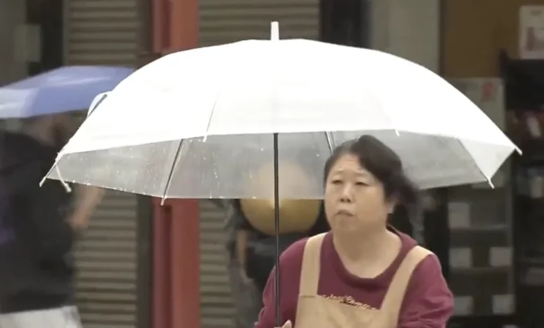
Tokyo is currently grappling with a severe and extraordinary meteorological anomaly, having endured 34 consecutive days of continuous rainfall since late August. According to reports from the Japan Times, citing official data from the Japan Meteorological Agency (JMA), daily precipitation has plagued the Japanese capital without interruption, driven by a persistent autumn rain front known as akisame and an entrenched low-pressure system lingering over the region.
The relentless precipitation has fundamentally disrupted the daily lives of millions of residents, profoundly altered urban routines, drastically reduced sunlight exposure, and heightened concerns regarding soil saturation, localized flooding, and infrastructural strain across the Kanto region and surrounding areas.
Chronology and Peak Precipitation Events
The current weather crisis began on August 27, marking the official onset of the uninterrupted wet spell. As days turned into weeks, meteorological agencies tracked the intensifying severity of the weather system, noting that the persistent rain was far from a standard seasonal drizzle.
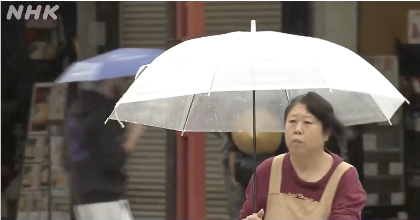
The peak of this prolonged meteorological event occurred on September 21, when a powerful secondary weather system swept across the metropolitan area, dumping a staggering 156 millimeters of rain on central Tokyo within a single 24-hour period. This heavy downpour overwhelmed localized drainage systems and caused significant disruptions to commuter transit networks.
By the close of September 28, cumulative rainfall totals in central Tokyo reached 629 millimeters. This staggering figure represents nearly three times the historical average total precipitation recorded for the entire month of September, illustrating the sheer volume of water deposited on the urban landscape in a compressed timeframe.
The adverse weather conditions were not isolated to the capital. On the morning of September 29, severe downpours expanded across eastern and western regions of Japan. In Echizen, located within Fukui Prefecture in central Japan, meteorological sensors recorded over 30 millimeters of rain falling in a single hour, signaling that the atmospheric instability remained potent and widespread.
Meteorological Drivers: The Akisame Front and Low-Pressure Systems
Meteorologists at the Japan Meteorological Agency attribute the ongoing deluge to the convergence of multiple seasonal factors, primarily the akisame (autumn rain) front. This seasonal stationary front forms when cold air masses originating from the Asian continent interact with warm, moist tropical air masses lingering over the Japanese archipelago.

As these contrasting air masses battle across the territory, they create a persistent boundary of heavy cloud cover, torrential rain, and atmospheric moisture that can stall for weeks. Compounding the effects of the akisame front this year is a stubborn low-pressure system that has continuously funneled moisture-laden maritime air directly into central Japan.
Forecasters indicate that the weather pattern is unlikely to dissipate immediately. Projections show that damp conditions and intermittent rainfall will likely persist across eastern Japan through at least October 1. The prolonged nature of the front has raised alarms among disaster management authorities, as cumulative rainfall drastically increases the risk of landslides, mudslides, and river overflows in vulnerable suburban and mountainous districts.
Dramatic Reduction in Sunshine and Psychological Impacts
Beyond the physical challenges of navigating flooded streets and carrying umbrellas for over a month, the prolonged rainfall has starved Tokyo of natural sunlight, plunging the city into a gloomy atmospheric state.
Data released by weather authorities reveals that central Tokyo recorded a meager total of just 46.8 hours of sunshine during the entire preceding month. This figure represents a mere 36% of the historical average sunlight expected during the same seasonal period, marking one of the lowest sunshine totals on record for the capital.
Even more striking is the chronological distribution of the darkness: during the uninterrupted string of rainy days leading up to September 28, the region experienced 14 days completely devoid of any measurable sunshine. The prolonged lack of solar radiation has raised concerns among health professionals regarding seasonal affective symptoms, reduced Vitamin D synthesis among urban populations, and negative impacts on agricultural yields in surrounding farming prefectures reliant on solar energy for crop maturation.
Broader Economic and Regional Implications
While Tokyo manages the immediate logistical hurdles of waterlogged infrastructure and delayed transportation networks, the broader implications of Japan’s shifting autumn weather patterns point toward increasing volatility driven by broader climatic shifts. Urban planners are currently re-evaluating the capacity of Tokyo’s subterranean flood diversion channels, which were designed to handle high-volume typhoons but face unprecedented stress from weeks of continuous, cumulative saturation.
Furthermore, the agricultural sector across eastern and central Japan is bracing for potential harvest delays. Crops requiring dry conditions for late-stage ripening, such as certain varieties of rice and autumn vegetables, face risks of root rot, mold, and diminished quality due to the waterlogged soil.
As the akisame front slowly begins its anticipated southward retreat into early October, municipal authorities continue to maintain high-alert advisories. Residents in Tokyo and surrounding prefectures have been urged to remain vigilant against sudden downpours, slippery roadways, and potential structural shifts in soil stability as the historic 34-day rainfall event finally draws toward its eventual conclusion.