Northern Vietnam Braces for Intense Rainfall and Potential Flooding as Weather Systems Converge

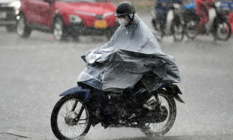
A significant weather event is unfolding across northern Vietnam, with a low-pressure system combining with high humidity to bring widespread, heavy rainfall from July 23rd to July 25th. The National Meteorological and Hydrological Forecasting Center has issued urgent warnings for several provinces, anticipating severe weather conditions including moderate to heavy downpours, with some areas potentially experiencing torrential rain exceeding 300mm.
The most heavily impacted regions are expected to be the northern mountainous and midland areas, including Quang Ninh, Cao Bang, Thai Nguyen, Tuyen Quang, Lao Cai, Dien Bien, and Son La. These provinces are at high risk of landslides, mudslides, and flash floods due to the anticipated intensity of the rainfall.
Detailed Rainfall Forecast and Regional Impact
According to the latest forecasts from the National Meteorological and Hydrological Forecasting Center, the period between July 23rd and July 25th will see a significant increase in precipitation across the northern regions.
- Northern Midland and Mountainous Areas: These regions are predicted to experience moderate to heavy rainfall, with accumulations ranging from 70mm to 150mm. Notably, some areas within these provinces could witness extremely heavy rainfall exceeding 300mm.
- Other Northern Provinces: The remaining northern provinces are expected to receive moderate to heavy rain, with rainfall amounts ranging from 40mm to 100mm. Isolated areas might see rainfall exceeding 150mm.
- Thanh Hoa Province: Thanh Hoa province, further south, is also anticipated to be affected. On the afternoon of July 25th, the province is forecast to experience moderate to heavy showers, with rainfall amounts between 30mm and 70mm. Some localities could see rainfall exceeding 150mm.
The meteorological agency has issued a severe weather alert, warning of the potential for flash floods with rainfall rates exceeding 100mm within a three-hour period. By the afternoon of July 25th, the intensity of heavy rain in the northern mountainous regions is expected to gradually decrease.
Hanoi Experiences Mixed Weather Conditions
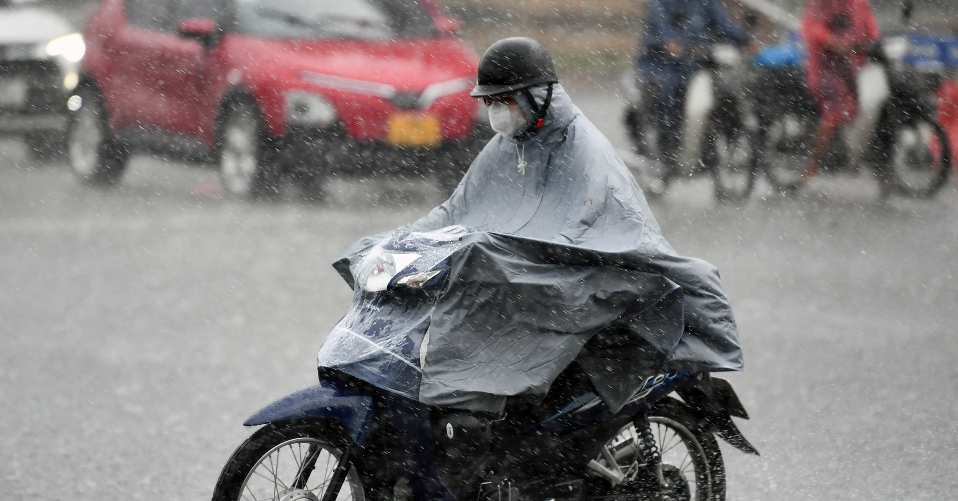
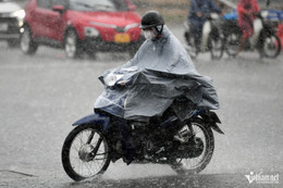
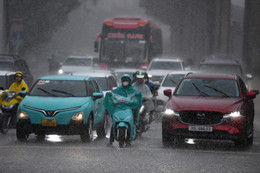
The capital city of Hanoi is also under the influence of these weather patterns. On July 24th, Hanoi experienced light to moderate rain with intermittent showers, with rainfall amounts ranging from 10mm to 15mm and isolated bursts up to 40mm. The day was characterized by cloudy skies and a decrease in the highest temperatures, which hovered around 29-31 degrees Celsius.
The forecast for Hanoi from July 24th to July 25th indicates a continuation of light to moderate rain, with showers occurring in the afternoon and evening. Daytime conditions are expected to see fewer clouds and sunshine, with temperatures remaining moderate. From July 25th to July 27th, rainfall is predicted to diminish, with Hanoi experiencing sunny days and scattered showers in the evenings.
Central and Southern Regions Face Moderate Rainfall
Beyond the northern regions, the Central Highlands and southern provinces are also forecast to receive rainfall. On July 24th, these areas are expected to experience light to moderate rain, with rainfall amounts ranging from 20mm to 40mm per 24-hour period. Some locations may experience heavier downpours, exceeding 80mm within the same timeframe.
Potential for Severe Weather Phenomena
Meteorological authorities are emphasizing the heightened risk of landslides, mudslides, and strong gusts of wind accompanying the rainfall. Heavy rainfall has the potential to cause rapid flooding in low-lying areas.
Typhoon Threat Emerges in the East Sea
Adding to the concerning weather outlook, a tropical depression near the East Sea (South China Sea) has the potential to develop into a typhoon. As of the time of reporting, this system is expected to move towards the eastern coast of the East Sea. Late on the night of July 25th or early morning of July 26th, the system is projected to make landfall in the eastern coastal region of China’s Guangxi province. While the direct impact on Vietnam is currently assessed as low, there remains a possibility of indirect influence on Vietnam’s northern regions.
Detailed Weather Forecast for July 24, 2026
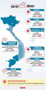
Here is a breakdown of the weather forecast for various regions of Vietnam on July 24, 2026:
Hanoi
Expect cloudy skies with moderate to heavy showers. Some areas may experience very heavy rainfall. There is a possibility of localized whirlwinds and strong gusts of wind associated with the showers.
- Lowest Temperature: 24-26°C
- Highest Temperature: 29-31°C
Northern Mountains
Cloudy skies with moderate to heavy showers. Some areas may experience very heavy rainfall. Localized whirlwinds and strong gusts of wind are possible.
- Lowest Temperature: 22-25°C (20-23°C in the western mountainous regions)
- Highest Temperature: 28-31°C (26-28°C in the western mountainous regions)
Northeastern Vietnam
Cloudy skies with moderate to heavy showers. Some areas may experience very heavy rainfall. Localized whirlwinds and strong gusts of wind are possible.
- Lowest Temperature: 23-26°C (below 23°C in mountainous areas)
- Highest Temperature: 28-31°C
Thanh Hoa to Hue
Cloudy skies with scattered showers and thunderstorms. In the afternoon, light to moderate rain is expected, with some areas experiencing intermittent showers. Thanh Hoa province specifically may see moderate to heavy showers, with some areas experiencing heavy rainfall. Southeast winds are expected at level 2-3. The showers carry a risk of localized whirlwinds, mudslides, and strong gusts of wind.
- Lowest Temperature: 25-28°C (up to 28°C in some areas)
- Highest Temperature: 32-35°C
Central Highlands
Cloudy skies with sunny intervals. In the afternoon, light to moderate rain is expected, with some areas experiencing intermittent showers. Southeast winds are expected at level 2-3. The showers carry a risk of localized whirlwinds, mudslides, and strong gusts of wind.
- Lowest Temperature: 25-28°C
- Highest Temperature: 32-35°C (up to 35°C in some areas)
Northern Central Coast
Cloudy skies with showers and thunderstorms. In the afternoon and evening, light to moderate rain is expected, with some areas experiencing intermittent showers. Some localities may experience heavy rainfall. Southeast winds are expected at level 2-3. The showers carry a risk of localized whirlwinds, mudslides, and strong gusts of wind.
- Lowest Temperature: 20-23°C
- Highest Temperature: 27-30°C (up to 30°C in some areas)
Southern Vietnam
Cloudy skies with light to moderate showers and thunderstorms. In the afternoon and evening, light to moderate rain is expected, with some areas experiencing intermittent showers. Some localities may experience heavy rainfall. Southeast winds are expected at level 2-3. The showers carry a risk of localized whirlwinds, mudslides, and strong gusts of wind.
- Lowest Temperature: 24-27°C
- Highest Temperature: 29-32°C (up to 32°C in some areas)
Ho Chi Minh City
Cloudy skies with light to moderate showers and thunderstorms. In the afternoon and evening, light to moderate rain is expected, with some areas experiencing intermittent showers. Some localities may experience heavy rainfall. Southeast winds are expected at level 2-3. The showers carry a risk of localized whirlwinds, mudslides, and strong gusts of wind.
- Lowest Temperature: 24-26°C
- Highest Temperature: 29-32°C
Background and Context: The Monsoon Season and Climate Factors
The current weather patterns are occurring within the typical summer monsoon season in Vietnam, which is characterized by heavy rainfall and increased humidity. However, the intensity and distribution of this rainfall are influenced by larger climate phenomena. The convergence of a low-pressure system with high atmospheric moisture is a potent combination that can lead to significant precipitation events.
Furthermore, recent climate outlooks suggest a potential return of El Niño conditions in the coming years, which can influence global weather patterns, including those affecting Southeast Asia. While the immediate focus is on the current rainfall, long-term climate trends are a critical factor in understanding the frequency and severity of such weather events. El Niño is often associated with prolonged droughts in some regions and increased rainfall in others, creating a complex and dynamic weather landscape.

Implications and Preparedness Measures
The widespread heavy rainfall poses significant risks, particularly to vulnerable communities in mountainous and low-lying areas. Authorities are urging residents to stay informed about weather updates and to take necessary precautions.
- Landslide and Mudslide Risk: Steep slopes and areas with unstable soil are particularly susceptible. Residents in these regions are advised to monitor their surroundings for early warning signs of instability.
- Flash Floods and River Flooding: Rapidly rising water levels in rivers and streams can lead to flash floods, especially in areas with concentrated rainfall. Low-lying areas are at high risk of inundation.
- Urban Flooding: Even in urban centers, intense rainfall can overwhelm drainage systems, leading to localized flooding and traffic disruptions.
Emergency services and local governments are on alert, preparing for potential rescue and relief operations. Disaster preparedness agencies are coordinating to ensure resources are available to respond to any emergencies that may arise from the severe weather. Citizens are advised to secure their property, avoid unnecessary travel during periods of heavy rain, and to heed any evacuation orders issued by local authorities.
The meteorological center will continue to monitor the evolving weather situation and provide updated forecasts and warnings as necessary. The convergence of these weather systems underscores the importance of robust disaster preparedness and timely dissemination of accurate meteorological information to safeguard lives and property.