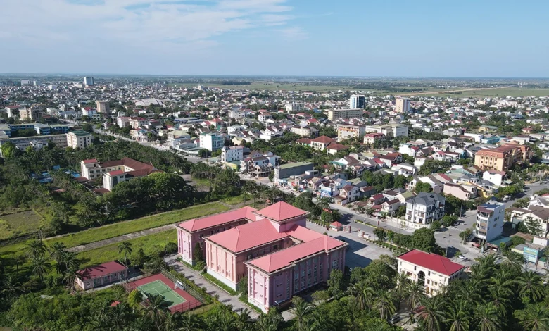
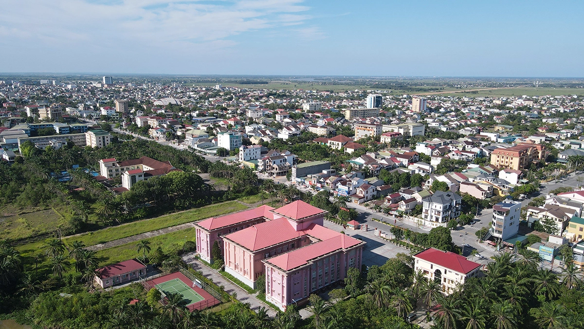
The provincial government of Quảng Trị has unveiled an ambitious and comprehensive urban development master plan, charting a strategic roadmap for eight key urban centers through 2050. This initiative marks a significant turning point in the province’s structural evolution, particularly following the recent administrative consolidation that has reshaped the local governance landscape. By establishing a dual-hub model, the province aims to anchor its economic growth in the north and south, creating a balanced and interconnected regional framework designed to boost industrialization, tourism, and cross-border logistics.
The Strategic Vision for Urban Growth
As of November 3, the People’s Committee of Quảng Trị reported on the progress of its urban master plan, which categorizes its future spatial development into eight distinct nodes: Đông Hới, Đông Hà, Ba Đồn, Hoàn Lão, Quảng Ninh, Lệ Thủy, Quảng Trị, and Lao Bảo. The central philosophy underpinning this initiative is the creation of a "networked" urban system. Rather than isolated development, each city is tasked with playing a specialized role—ranging from administrative and financial hubs to specialized industrial and gateway cities—that complement the broader provincial objectives.
The master plan emphasizes the integration of infrastructure, particularly the development of high-speed rail links and the implementation of Transit-Oriented Development (TOD) models. This approach is intended to mitigate the risks of haphazard sprawl while ensuring that economic growth remains sustainable and resilient to the mounting challenges of climate change.
Dual Hubs: The Engines of Development
The cornerstone of this development strategy lies in the elevation of two primary urban centers: Đông Hới and Đông Hà.
Đông Hới is designated as the provincial administrative and political capital. As the northern anchor, it will serve as the primary hub for high-end commercial activities, financial services, education, healthcare, and logistics. Crucially, it is positioned as the gateway to the world-renowned Phong Nha-Kẻ Bàng National Park, linking the provincial interior with national transportation corridors. The current planning scope for the city covers approximately 15,497 hectares, with an expanded research area of 38,500 hectares that incorporates neighboring communes and the planned high-speed rail infrastructure.
In the south, Đông Hà is set to evolve into a multi-functional powerhouse. It will serve as the region’s primary commercial, industrial, and cultural center. Located strategically along the East-West Economic Corridor, Đông Hà acts as a vital intersection for National Highway 1, National Highway 9, and the North-South railway network. By integrating its industrial zones with the coastal economic belt and the deep-water port systems, the province aims to transform Đông Hà into a logistical pivot for both domestic and international trade. The master plan for Đông Hà covers 7,305 hectares, with an expansive research zone of 62,604 hectares reaching toward the Cửa Việt and Gio Linh areas.
Secondary Nodes and Specialization
Beyond the two primary hubs, the remaining six urban areas have been assigned specialized functions to ensure regional economic parity:
- Ba Đồn: Planned as a Type III urban center, it will focus on northern trade, services, and industrial logistics, leveraging its proximity to the Hòn La Economic Zone.
- Hoàn Lão: Positioned as a satellite city to the north, Hoàn Lão will focus on administrative functions, tourism, and services to support the expansion of the greater Đông Hới urban area.
- Quảng Ninh: Destined to become a Type III city by 2030, Quảng Ninh will function as a vital transport and trade hub, alleviating pressure on the central core through efficient freight consolidation.
- Lệ Thủy: Emphasizing high-tech agriculture and eco-tourism, Lệ Thủy is planned to integrate its urban core with the picturesque Kiến Giang river landscape.
- Quảng Trị (Town): Focusing on the theme of a "peaceful city," this area will develop as a cultural and historical tourism center with an emphasis on sustainable, green urban planning.
- Lao Bảo: As the province’s primary international border gate, Lao Bảo is critical to the East-West Economic Corridor, connecting Vietnam to Laos, Thailand, and the broader Mekong Subregion.
Economic Context and Administrative Consolidation
The necessity for this comprehensive planning follows the recent administrative merger, which has expanded the province’s footprint to approximately 12,700 square kilometers, serving a population of nearly 1.86 million residents across 78 administrative units at the commune level.
Provincial authorities have identified four pillars of economic growth: renewable energy, logistics, tourism, and green agriculture. The urban master plan is designed to provide the physical foundation for these pillars, aiming for an average annual growth rate of 9% to 10%. By 2030, the province aspires to achieve an average income per capita of 137 to 145 million VND.
Timeline and Implementation Strategy
The roadmap for these developments is aggressive. The provincial government has set a firm target to have the master plans for all eight urban areas approved by July 2027. This timeline serves as a critical benchmark for attracting foreign direct investment (FDI) and securing domestic capital for infrastructure projects.
Historically, urban development in the region has been fragmented. The transition toward a synchronized provincial master plan represents a departure from reactive planning toward a proactive, long-term spatial management strategy. By coordinating the development of these eight nodes simultaneously, the province seeks to avoid the competition for resources that often plagues decentralized development.
Analysis of Implications
The shift toward a "Sea-River-Green" urban design model reflects a growing awareness of the environmental vulnerabilities inherent in the coastal provinces of central Vietnam. As climate change increases the frequency of extreme weather events, the focus on "smart" and "adaptive" cities is not merely an aesthetic choice but a survival strategy.
From an economic perspective, the success of this plan hinges on the synchronization of transport infrastructure. The reliance on the East-West Economic Corridor and the connection to deep-water ports suggests that Quảng Trị is positioning itself as a transit powerhouse. If executed according to the timeline, the province could significantly improve its competitive index, transforming from a transit point into a destination for manufacturing and logistics firms seeking to diversify their supply chains in Southeast Asia.
However, challenges remain. The mobilization of capital for such large-scale infrastructure requires a robust public-private partnership framework. Additionally, ensuring that the transition to urban centers does not displace traditional agricultural communities—or that it properly integrates them—will be a key metric of success for local policymakers.
Moving Forward
Official responses from the provincial leadership emphasize that this plan is a living document. While the core objectives are fixed, the government remains committed to updating the specific requirements of each urban area as the administrative reorganization matures. The next three years are critical, as the province moves from the conceptual phase to the final approval of the eight individual urban master plans.
As the province prepares for this transformation, the focus will shift to land-use efficiency and the attraction of anchor investors who can jumpstart the industrial and service sectors. With a clear vision and a structured roadmap, Quảng Trị is effectively signaling to both domestic and international stakeholders that it is ready to modernize its urban landscape to meet the demands of the 21st-century economy.