Understanding Land Use Rights: Navigating Agricultural Land Conversions, Urban Planning, and Legal Boundaries in Vietnam

The legal framework governing land use rights and urban development in Vietnam continues to be a subject of intense public interest and regulatory scrutiny. As the nation undergoes rapid industrialization and urbanization, millions of citizens, property owners, and investors frequently navigate complex statutes to understand their rights regarding land conversion, zoning boundaries, and property documentation. At the center of these discussions are the provisions outlined in the Land Law, particularly concerning the transition of agricultural land within residential areas into residential land, and the precise interpretation of planning terminology such as "residential areas" versus "new urban areas."
Recent inquiries from citizens regarding the application of Clause 5, Article 116 of the Land Law have brought these technical land-use distinctions to the forefront. Property owners seeking to optimize their land assets often encounter administrative hurdles or ambiguities when attempting to interpret how local master plans apply to their specific parcels. To address these concerns, relevant state authorities, including the Ministry of Agriculture and Rural Development (MARD) and the Ministry of Construction, have issued clarifying guidelines, offering deeper insights into how land categories are defined, managed, and regulated under the current legal apparatus.
Legal Foundation for Land Use Conversions
Under the framework of the Land Law, specific provisions allow for the conversion of land use purposes to accommodate the changing socio-economic needs of households and individuals. According to Clause 5, Article 116 of the Land Law, competent state authorities may permit the conversion of agricultural land located within residential areas, agricultural land within the same land parcel containing residential land, or non-agricultural land that is not residential land into residential land.
This administrative flexibility is fundamentally tied to the approved district-level land use planning, general planning, or zoning planning approved by competent authorities. However, exercising these rights requires a thorough understanding of administrative boundaries and statutory definitions. Citizens often find themselves questioning whether a "residential area" referenced in planning documents denotes existing residential communities or future planned developments that incorporate provisions for spatial expansion.
To untangle these complexities, a clear demarcation must be made between rural residential areas and new urban developments, both of which carry distinct legal implications for property owners.
Defining Urban and Rural Residential Landscapes
The regulatory definitions established by the Law on Urban and Rural Planning provide the foundation for distinguishing between different types of human settlements. These definitions directly impact land classification, valuation, and the feasibility of obtaining building permits or land use rights certificates (commonly known as "red books").
According to statutory guidelines, a "new urban area" refers to a settlement formed in the future, aligned with orientations identified in master urban and rural system planning, regional planning, provincial planning, or city general planning. These areas are systematically invested in and constructed in a synchronized, comprehensive manner in accordance with urban classification criteria.

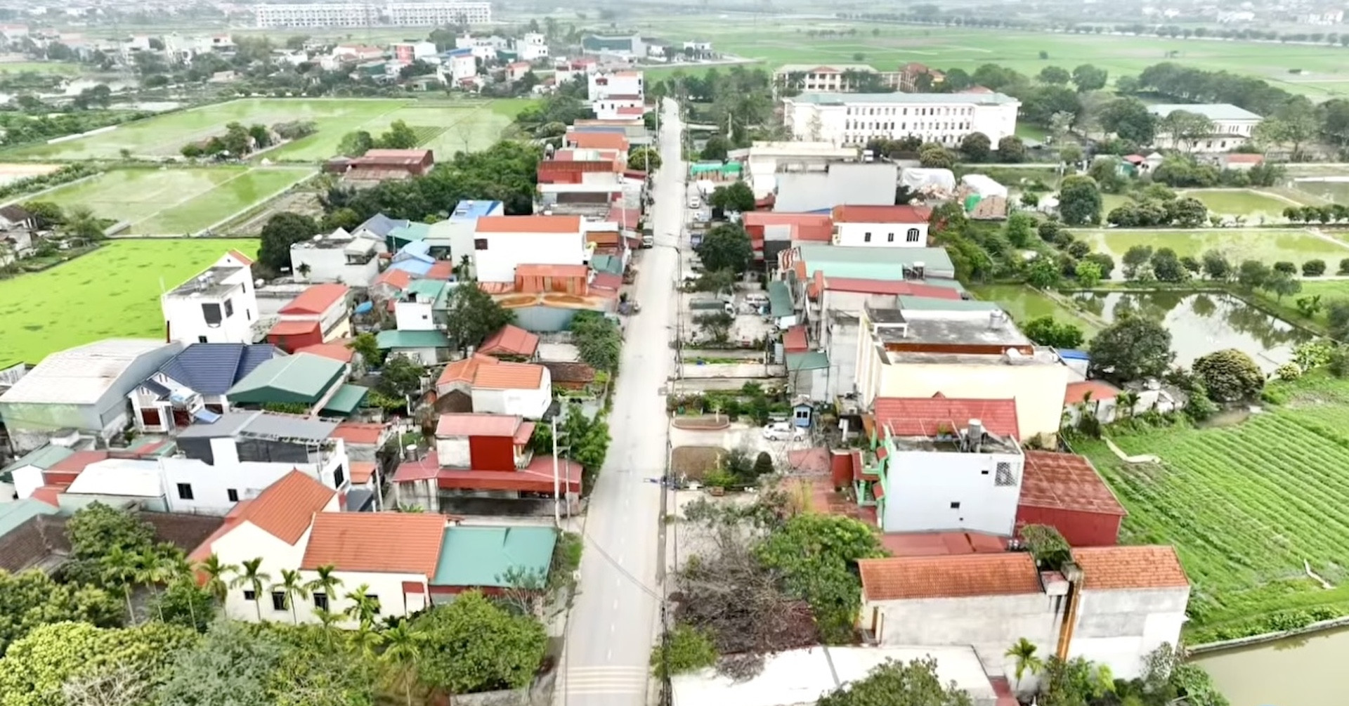
Conversely, a "rural residential area" is defined as a concentration of residential households closely linked in production, daily life, and other social activities within a specific rural territory. These communities take shape based on natural conditions, socio-economic factors, technical infrastructure, and various local elements.
The distinction becomes legally critical when property parcels situated within administrative boundaries traditionally governed by commune-level local authorities are simultaneously designated for new urban development projects under approved master plans.
Ministry Guidance and Jurisdictional Boundaries
Addressing citizen queries regarding how to precisely identify "residential areas" for planning purposes, the Ministry of Agriculture and Rural Development clarified that definitions pertaining to residential land—including rural residential land and urban residential land—are fundamentally regulated under Government Decree No. 102/2024/ND-CP. This decree has subsequently been amended and supplemented by Decree No. 49/2026/ND-CP, which details and guides the implementation of certain articles of Resolution No. 254/2025/QH15 passed by the National Assembly. This resolution introduces specific mechanisms and policies to resolve difficulties and obstacles in the enforcement of the Land Law.
By legal definition, residential land comprises land used for housing and other purposes supporting daily living within the same land parcel. It is categorically divided into rural residential land and urban residential land.

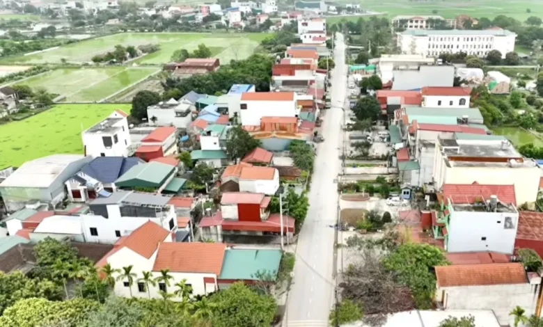
Rural residential land falls within the administrative boundaries of commune-level administrative units and specific localities where commune-level local governments exercise their corresponding duties and powers. However, a crucial exception exists: if a parcel of land is located within an area designated for a new urban development project under an approved urban plan—even if it technically falls within a commune’s administrative boundary—it is excluded from the category of rural residential land. Instead, it is classified as urban residential land.
Conversely, urban residential land encompasses land within ward-level administrative units and areas where ward-level local governments exercise their administrative functions. Furthermore, any land situated within a commune administrative boundary that overlaps with an approved new urban development project is likewise officially recognized as urban residential land.
Because the methodology for defining and demarcating residential areas falls under the functional purview of the Ministry of Construction, MARD has advised citizens seeking granular guidance on zoning maps to coordinate directly with the Ministry of Construction or local municipal and provincial construction management agencies.
Implications for Property Owners and Real Estate Transactions
The interplay between land use planning, administrative boundaries, and zoning classifications carries profound practical implications for property owners across Vietnam. These regulations directly influence several critical real estate procedures:
- Issuance of Land Use Rights Certificates (Red Books): Property owners frequently face uncertainty when their long-held residential land—sometimes occupied continuously since 1995 or earlier—becomes entangled in evolving municipal plans, such as transportation infrastructure corridors or detailed 1/500 zoning projects. While the issuance of red books for land affected by public planning is governed by specific protocols such as Circular No. 10/2024/TT-BTNMT, discrepancies between actual land boundaries and officially recognized areas can complicate administrative processing.
- Land Subdivision and Transfer Restrictions: A recurring point of friction for landowners involves requests to split large parcels (e.g., plots exceeding 700 square meters) into smaller, independent titles. Local authorities frequently reject these applications if the land falls within a detailed 1/500 construction plan, even if the project has not yet broken ground and no formal land acquisition notice has been issued. This leaves landowners in a legal limbo where they cannot fully utilize, transfer, or divide their property despite holding formal ownership documents.
- Boundary Discrepancies: Situations frequently arise where a red book reflects a broader boundary or larger spatial extent than the legally recognized land area. Resolving these variances requires rigorous adherence to cadastral mapping standards outlined in the Land Law, ensuring that public infrastructure corridors and private property limits are accurately reconciled without infringing upon the rights of the land user.
Broader Context and Future Outlook
The continuous refinement of Vietnam’s land regulatory framework reflects the government’s dual objective: accelerating modernization and urban expansion while safeguarding the legitimate rights of individual property owners. As new decrees are enacted and existing laws are fine-tuned, coordination between central ministries—such as the Ministry of Agriculture and Rural Development and the Ministry of Construction—is vital to minimizing bureaucratic ambiguity.
For citizens and real estate investors, staying informed about local zoning updates, master planning cycles, and statutory amendments remains essential. As urban and rural boundaries continue to blur through ambitious infrastructure and housing initiatives, transparent communication channels between local regulatory bodies and the public will be crucial in resolving land-use disputes and ensuring equitable economic development across both metropolitan and regional communities.