As the Long Thanh International Airport project (Phase 1) accelerates toward its ambitious target of operational commencement by late 2026, the surrounding infrastructure landscape in Dong Nai Province is undergoing a monumental transformation. While national-level investments provide the primary connectivity arteries, the provincial administration has simultaneously spearheaded a comprehensive network of auxiliary boulevards and regional roads. These routes, requiring an investment of tens of thousands of billions of Vietnamese dong, are designed to ensure seamless integration between the airport and the economic hubs of the Southern Key Economic Zone.
The Strategic Importance of Long Thanh Connectivity
The Long Thanh International Airport is set to become the largest aviation hub in Vietnam, fundamentally shifting the country’s logistics and passenger transit capabilities. With an initial design capacity to handle 25 million passengers and 1.2 million tons of cargo per year in its first phase, the facility’s success depends entirely on the efficiency of its surface access.
Currently, commuters traveling from Ho Chi Minh City (HCMC) to the airport site utilize a combination of established national highways, including National Highway 1 and National Highway 51, alongside major expressways such as the HCMC – Long Thanh – Dau Giay, the Ben Luc – Long Thanh, and the Bien Hoa – Vung Tau routes. However, as the projected traffic volume increases, these existing corridors are expected to reach saturation. Consequently, the provincial government’s initiative to develop regional boulevards is not merely an improvement project; it is a critical requirement for the airport’s long-term operational viability.

Progress on Western Arteries: The 25B and 25C Corridors
The Western approach to the airport is characterized by the critical upgrades to Routes 25B and 25C. These roads serve as the primary gateways for traffic flowing from the industrial and urban centers of Nhon Trach and the broader HCMC metropolitan area.
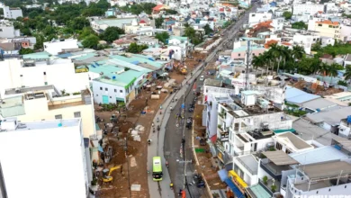
Route 25B, historically known as Ton Duc Thang Street, has undergone a significant transformation. Once a modest two-lane road, it has been expanded into a massive ten-lane thoroughfare. This expansion is essential, as the route cuts directly through the heart of Nhon Trach, acting as a vital link connecting the Ring Road 3 of HCMC to National Highway 51. By providing this direct connection, the project effectively creates a high-capacity artery that streamlines movement toward the airport’s western gate.
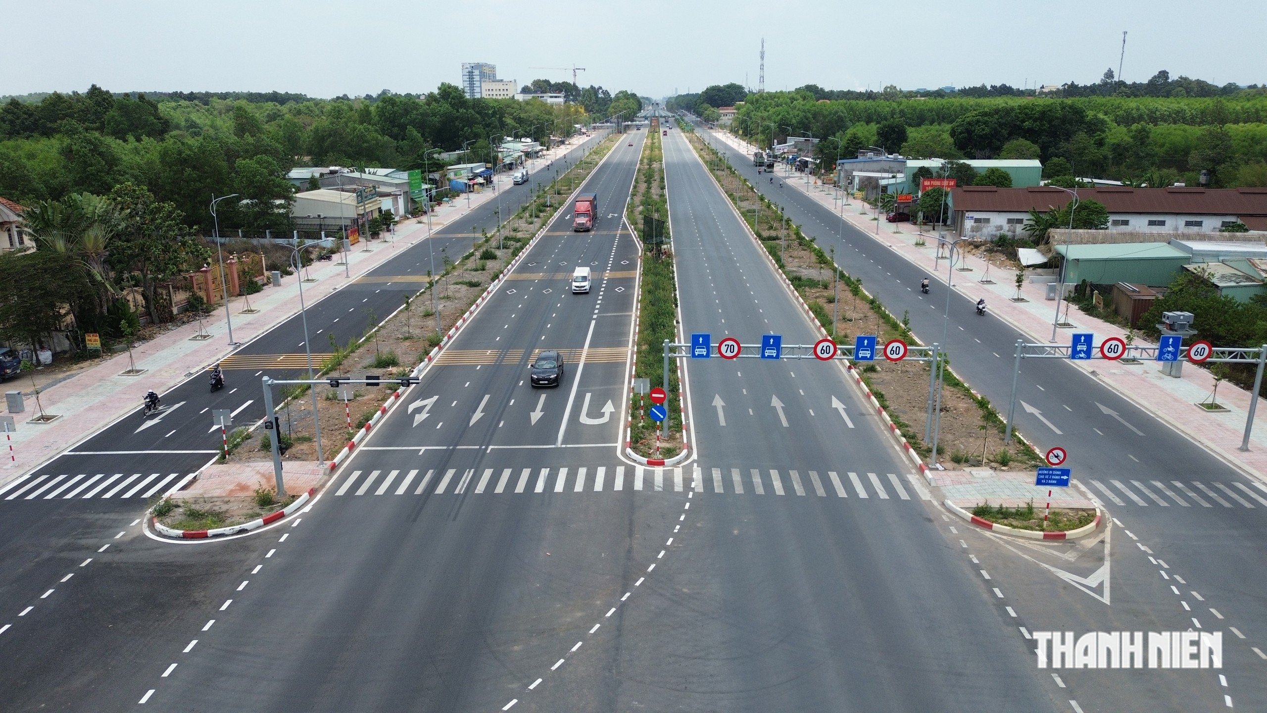
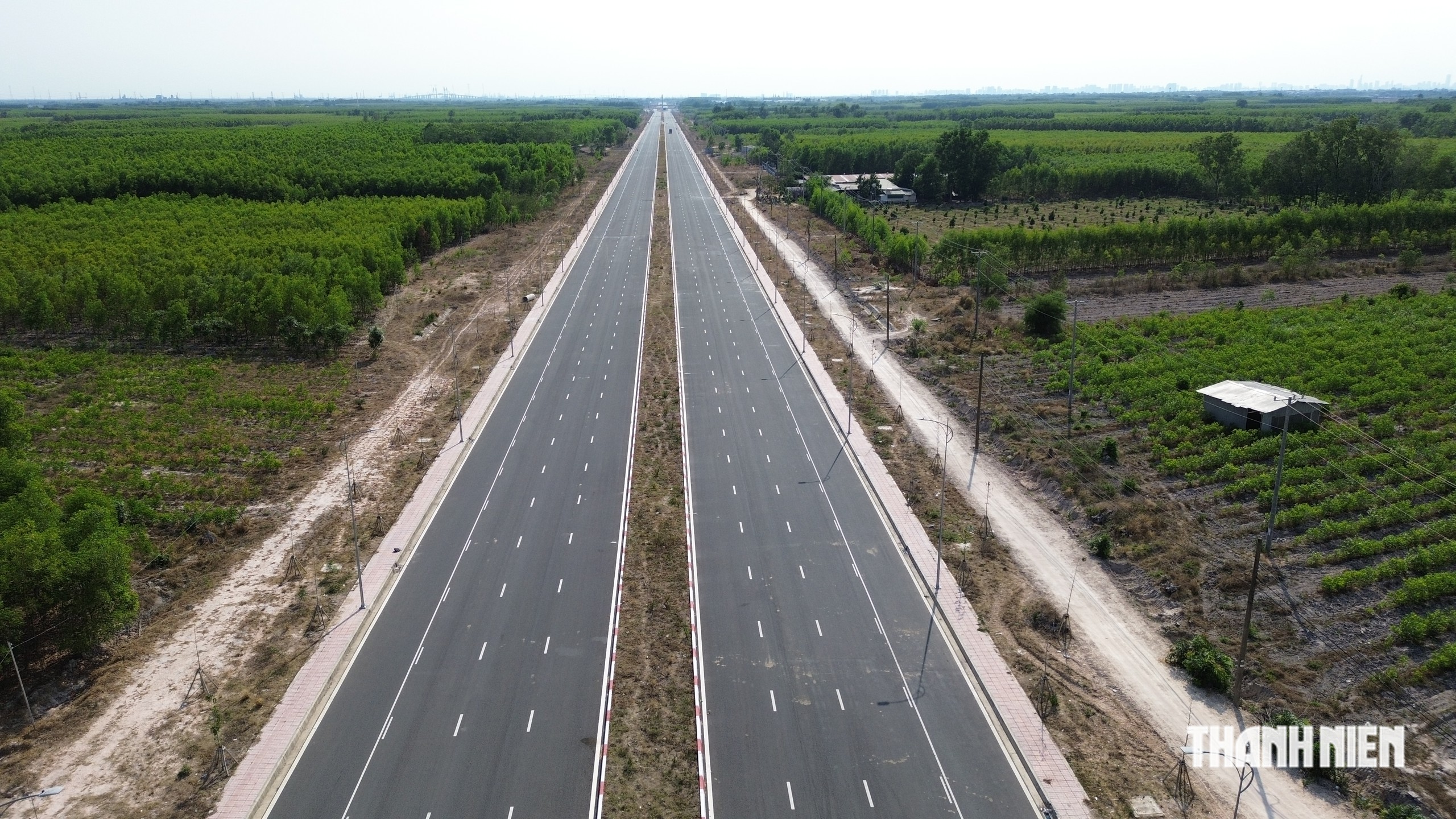
Parallel to 25B, located approximately three kilometers to the south, is Route 25C. This eight-lane boulevard serves as an essential counterpart, connecting the Ring Road 3 of HCMC to Road T1—the primary access road leading into the main terminal area of the airport. Both projects are in the final stages of completion, with officials confirming that they are on schedule for full commissioning by the end of 2026, perfectly timed to coincide with the airport’s inauguration.
Eastern Connectivity: A New Network Emerges
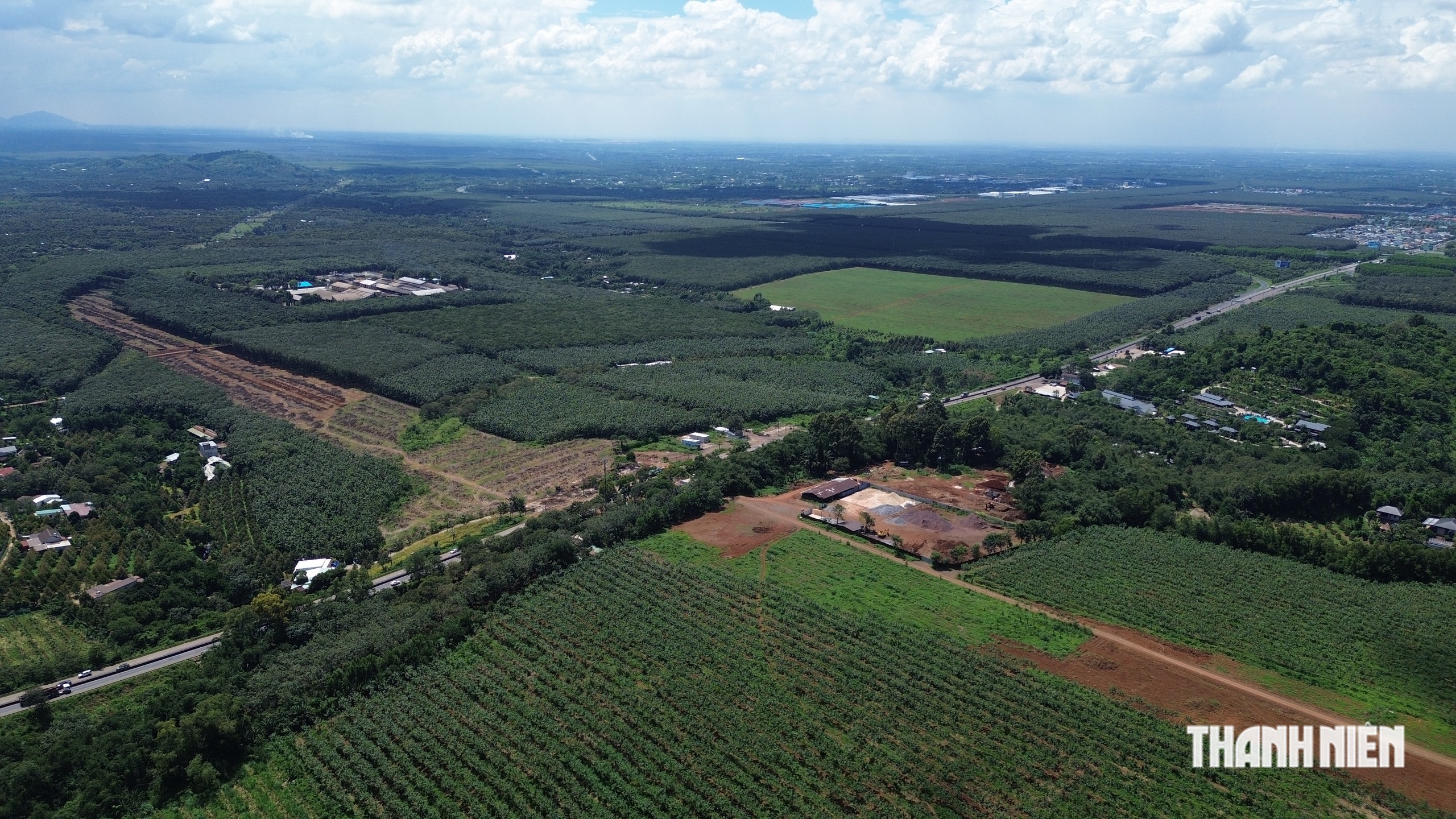
While the western routes focus on urban integration, the eastern infrastructure developments are designed to facilitate regional logistics and inter-provincial trade. On July 10, 2026, Dong Nai Province launched a series of major construction projects aimed at establishing robust eastern access, including the development of the DT.770B route and the significant expansion of the existing DT.769 and DT.773 roads.
The DT.770B route is perhaps the most ambitious of these new projects. Stretching approximately 42.7 kilometers, this six-lane road with a width of 45.5 meters acts as a major bypass and connectivity tool. It begins at the junction with DT.763 and terminates at National Highway 51, crossing nine communes and wards within Dong Nai, including Xuan Bac, Gia Kiem, and Dau Giay. By linking these disparate industrial regions, the road provides a direct, high-speed conduit for goods moving from the eastern provinces toward the airport.
Furthermore, the expansion of DT.769 and DT.773 to six or eight lanes is crucial for regional freight management. DT.769, spanning roughly 30 kilometers, serves as a bridge between the Dau Giay junction and National Highway 51. Its proximity to the airport makes it a primary channel for agricultural products and industrial components moving from the Central Highlands to the southern coastal ports, such as Cai Mep-Thi Vai.
Timeline and Implementation Chronology
The development of this infrastructure has followed a rigorous schedule mandated by the provincial government to ensure that no bottleneck occurs upon the airport’s opening:
- Mid-2025: Acceleration of land clearance for provincial roads DT.770B and DT.773.
- January 2026: Finalization of site clearance for the expansion phases of DT.769.
- July 10, 2026: Official groundbreaking ceremony for the new eastern network, signaling a shift from planning to physical construction.
- October 2026: Mid-point evaluation of construction progress; confirmation that western routes are entering the finishing stages.
- December 2026 (Projected): Completion of major western arteries and substantial structural progress on eastern expansion projects.
Economic Implications and Regional Impact
The economic ripple effects of these developments are significant. By integrating the airport into the provincial road network, Dong Nai is effectively positioning itself as a central logistics hub in Southeast Asia.

- Logistics Efficiency: The new roads will significantly reduce the travel time for freight transport. By connecting the Central Highlands and the industrial zones of Dong Nai directly to the airport, the cost of export logistics is expected to drop, enhancing the competitiveness of Vietnamese goods.
- Urban Development: The expansion of roads such as 25B and 25C through Nhon Trach has spurred significant interest in real estate and commercial development. This planned growth prevents the "ad-hoc" urban sprawl that often accompanies major infrastructure projects, allowing the province to manage population density and service requirements more effectively.
- Regional Integration: The connectivity between the airport and the Cai Mep-Thi Vai port cluster is arguably the most important macro-economic benefit. This dual-modal access (air and sea) allows the region to function as an integrated logistics gateway, capable of handling complex supply chain requirements.
Official Stance and Future Outlook
Provincial authorities have emphasized that the integration of these roads is a strategic priority that transcends simple transport needs. During recent site inspections, officials noted that the provincial budget has been prioritized to ensure that these local roads are completed with the same technical standards as national projects.
"The goal is not just to reach the airport, but to ensure that the surrounding regions can thrive alongside it," stated a provincial planning representative. "We are creating a system where the airport serves as the engine, but the provincial road network serves as the transmission that delivers that economic power to every corner of our district."
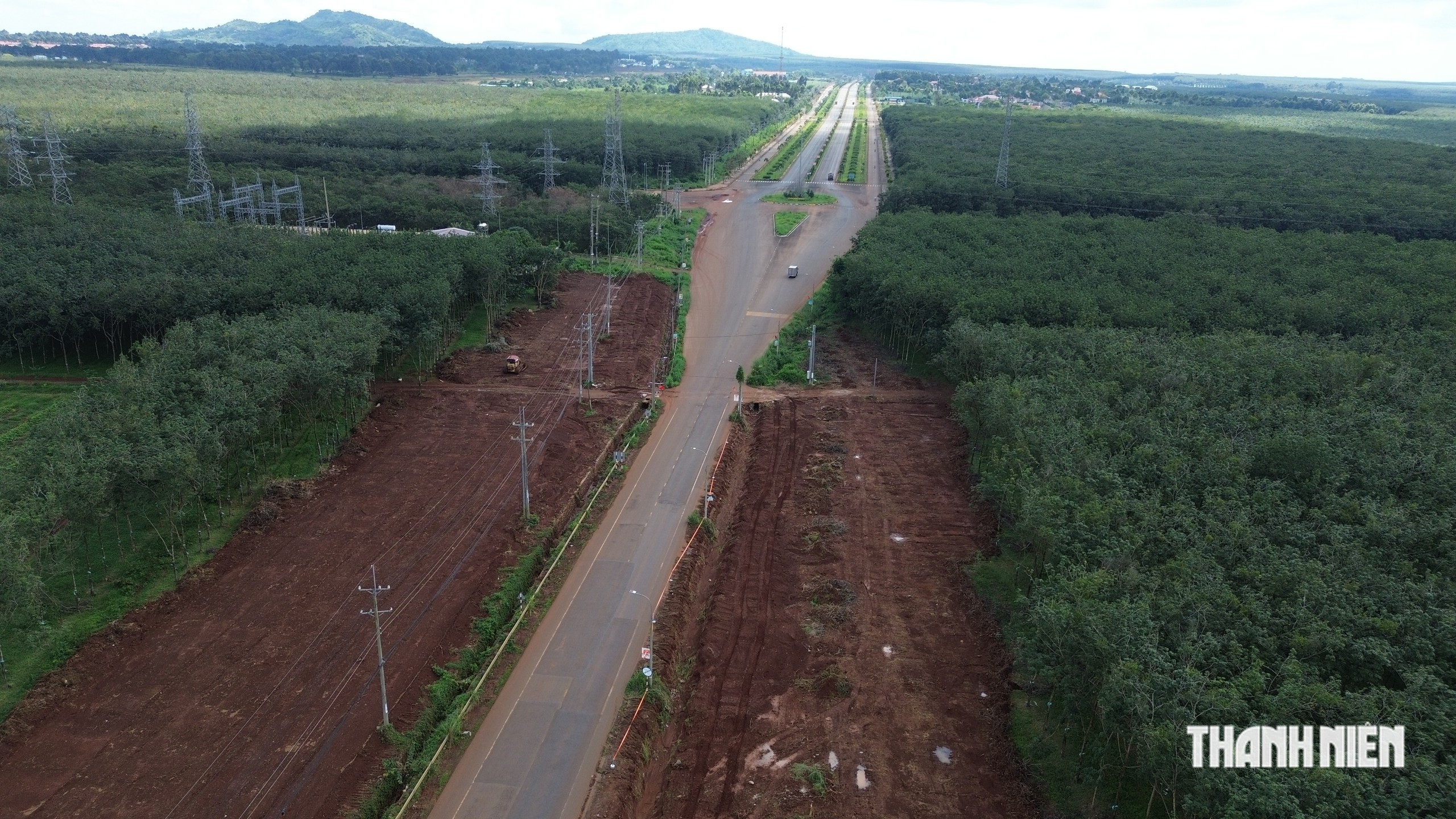
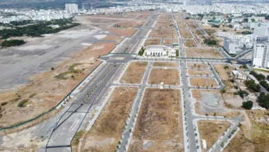
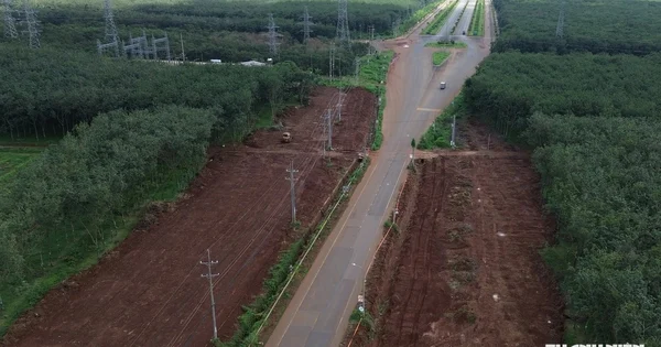
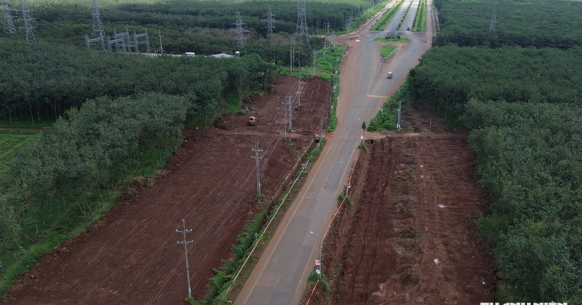
As of late October 2026, the progress on the western side is nearly complete, with surfacing and lighting installation underway. On the eastern side, the earthworks for the new routes have taken clear shape, providing a visible map of the future flow of traffic. With the airport’s first phase moving toward its final completion, the timely delivery of these boulevards remains the linchpin in ensuring that the Long Thanh project succeeds in its mission to redefine Vietnam’s role in the global aviation industry.
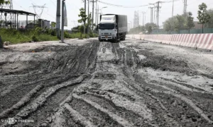
While challenges remain—specifically regarding the ongoing maintenance of the older segments of the existing national highways during this heavy construction phase—the comprehensive master plan for Dong Nai’s road infrastructure is currently on track. The upcoming months will be crucial for the final paving and signaling of these routes, marking the end of a multi-year effort to build a world-class gateway to the southern region of Vietnam.